
Administrative Boundaries Map
Find our most frequently used and requested national map products below. Visit region-specific pages for planning and project maps, recreation maps, and more.
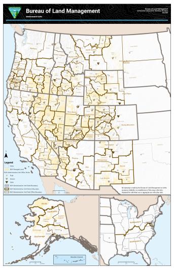
View our interactive administrative boundaries map.
Federal Land Records
Find national and state Federal Land Records.
Wild Horse and Burro Maps
The BLM's Wild Horse and Burro interactive webmap enables users to access and explore data related to the management of wild horses and burros. Using this map, you can:
- Find the nearest location to adopt or purchase a wild horse or burro
- Explore the different herds that roam free on BLM-managed public lands
- View other related data on wildland fires and drought
Visit the Wild Horse and Burro pages for our new interactive map and frequently requested downloadable maps.