
What is Geospatial Information?
The term geospatial relates to the geographic location of objects or features on Earth. Information that answers the question, "where," probably has a geospatial component.
Having a visual representation of the world around us has always been a necessary part of human communication. Those visual representations have been largely based on technology, from hand drawings on clay tablets to machine-printed maps to photographically and digitally derived images. Airplanes and satellites broadened our perspective exponentially. Computers and the Internet made geospatial data available to the public and to the world. Now we carry around mobile devices with global positioning systems (GPS), enabling us not only to find ourselves on a map, but also to find things around us.
What is a GIS?
A geographic information system (GIS) is a computer system used to capture, store, analyze, and display information that contains a location component. It has the ability to show multiple types of information on multiple geographical locations in a single map, enabling users to assess patterns and relationships between different information points. This ability is essential for managing land resources.
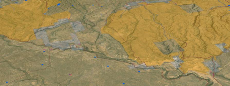
What is the BLM's Approach to GIS?
The BLM’s geospatial presence is integrated within the Department of the Interior's growing enterprise GIS capabilities and is a vital part of the Department’s geospatial strategy. A GIS supports the standardization of data, collection methods, and the digitization of legacy data so it can be analyzed and used in decision-making. A GIS is crucial in helping the BLM make a generational leap forward in its geospatial capabilities. It allows employees to seamlessly access and use geospatial data from every level of the organization and across unit boundaries. Integration with location-enabled mobile devices allows GIS access both in the office and out in the field.
GIS is key in providing scalable support for managing multiple use on public lands. We will continue to work collaboratively with partners to develop common data standards and manage geospatial datasets used for public land management decisions.
The Bureau’s ability to provide vast quantities of quality data will have profound organizational, cultural, and social benefits. GIS provides the ability to overlay natural resource datasets with data about natural and human-induced stressors, yielding robust and complex analyses of resource uses and effects across multiple scales and management jurisdictions. GIS allows the BLM to continue developing and implementing data and technology to support multiple-scale, science-based decision-making, while at the same time delivering critical information to the public for its use and enjoyment of the public lands.