2017 Settlement Agreement Travel Management Plans Explained
A travel management plan (TMP) is a tool the BLM uses to manage off-highway vehicle (OHV) use on public lands. The direction and goal for the BLM towards TMPs and designations are the protection the resources of public lands, the promotion of the safety of all users of these lands, and the minimization of conflicts among user groups of public lands.
BLM Utah oversees 29 travel management areas (TMAs). Planning efforts in these TMAs are not new; the BLM periodically develops, reviews, and updates TMPs for each of these travel management areas.
In 2008, the BLM completed TMPs for almost half of Utah's public lands. Eleven of these TMPs underwent litigation and are being reviewed in accordance with the 2017 Settlement Agreement. Information on the eleven impacted TMPs can be found below.
Information on all BLM Utah TMAs can be found at Utah Travel and Transportation.
- Why am I seeing so many TMPs being updated recently?
-
BLM Utah conducted several TMP updates in 2008. Following those planning efforts, the BLM was subject to a lawsuit by environmental groups, which resulted in a 2017 Settlement Agreement.
The terms of this agreement focused on 11 specific TMAs and required the BLM to issue a new TMP that follows procedure and documentation outlined in the agreement on a specific timeline. This includes:
- Route monitoring for damage or impacts during/after planning
- Identify cultural resources in each specific area
- Identify impacts to wilderness characteristics
- How routes are designated.
-
Open: OHV use is unrestricted
Limited: OHV use is restricted in certain areas, at certain times, or to certain types of OHVs. OHVs must remain on designated routes
Closed: All OHV use is prohibited, except to authorized users
- Motorized vs. mechanized vehicles.
-
Motorized: Any vehicle that is propelled using an engine for over the ground transport. Examples: cars, trucks, E-bikes, ATVs, OHVs, UTVs, etc.
Mechanized: Any device that is solely propelled by human power, with wheels or tracks (excluding wheelchairs or assistive devices). Example: cycles, skateboards, etc.
- Is this just targeting OHV use?
-
Generally, TMPs include all forms of transportation including foot, horseback and other pack-animal use, and mechanized and motorized vehicle use are addressed through the creation of comprehensive travel and transportation management plans.
However, the TMPs impacted by the 2017 Settlement Agreement are only looking at motorized OHVs as outlined in the agreement.
Please note, authorized users are excluded from the definition of OHV use. Examples of authorized users include, but are not limited to, grazing permittees accessing authorized range facilities, landowners or their lessees who have been authorized to access their inholdings, and other permit holders acting pursuant to their permit authorizations (such as rights-of-way or mineral leases).
- What is considered an OHV?
-
The BLM defines an OHV as any motorized vehicle that can travel over natural terrain.
This includes:
- Motorbikes and motorcycles
- Certain e-bikes
- SxSs, 4x4s, ATVs, UTVs, etc.
- Cars
- Trucks
- Stages of the 2017 Settlement Agreement TMP process.
-
There are several stages to the TMP process.
- Find and inventory routes in the TMP area
- Scoping period
- Gather information from the public
- Preliminary route evaluations
- Preliminary Alternatives
- This is an additional step taken wherein the initial alternatives are made available to the public for review prior to the draft TMP release.
- Draft TMP
- Present draft alternatives and maps
- Public comment period on alternatives (at least 30 days)
- Review comments and input from stakeholders and cooperating agencies
- Final TMP
- Created and issued with route-specific designations
- How can I have a say in the TMP process?
-
There are multiple opportunities to provide input. The first is during the scoping period where initial information is gathered, including from the public.
Second, the preliminary alternatives are provided to the public prior to the draft TMP release.
Third, each TMP will have a public comment period during the federally required NEPA process. Usually 30 days in length, the public comment period asks anyone to give their substantive input on the draft TMP and associated impact analysis.
Information on how to submit comments can be found on our BLM National NEPA Register database for each specific TMP.
- Public comment is not a vote for one alternative over another.
-
It’s important to note that BLM Utah seeks specific input to inform our planning process. Simply voting for a draft alternative does not provide substantive feedback on why that alternative is important to various stakeholders.
Instead, comments should include:
- New information about the use or history of a route
- Identifies how a route designation may meet the needs of the public
- Points out specific flaws in BLM's environmental analysis
- Gives an alternative with supporting facts or evidence
- Provides the latest scientific research
- Identifies parts of the plan that are unclear
- Demonstrates impact or likely potential for impacts not otherwise addressed
- Includes specific information, like GPS coordinates, route number(s), photos, studies, etc. supporting specific information not previously considered
Avoid comments that:
- Include unrelated topics or planning efforts
- Only voices an opinion
- Offers emotional stories without facts
- Are form letters - they're treated as only one comment, regardless of how many of the same letters are received
- How does BLM Utah make their final TMP decisions?
-
The public comment period is vital for BLM planning efforts. Once the public comment period is complete, BLM staffers and subject-matter experts read through all the comments and respond to all substantive comments. After we've considered and responded to public comment, we form a decision that complies with our legal requirements.
*** The final plan may not simply adopt one entire alternative from the drat TMP. It can be a hybrid of components from multiple alternatives based on the feedback received during the public comment period on specific routes and the environmental assessment analysis. ***
TMPs impacted by the 2017 Settlement Agreement
Ongoing / Upcoming
- Book Cliffs (tentatively completed by April 2027)
-
The Book Cliffs travel management area in eastern Utah covers approximately 813,446 acres in Uintah County and 5,518 acres in Grand County. It encompasses roughly 969 miles of roads.
Planning Documents: Book Cliffs Travel Management Plan
Interactive Maps: Book Cliffs TMP
Latest News: BLM seeks public input to inform the Book Cliffs Travel Management Plan
Flickr Album: Green River District: Book Cliffs
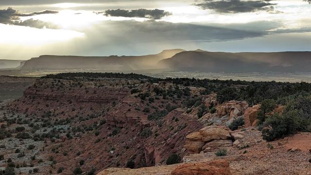
Book Cliffs landscape. Photo by BLM. - Dinosaur (North) (tentatively completed by November 2025)
-
The Dinosaur (North) Travel Management Area (TMA) includes Daggett County, north of Dinosaur National Monument, east of Hwy 191. This TMA covers approximately 220,324 acres of public lands in portions of Daggett and Uintah counties in Utah and roughly 778 miles of roads.
Planning Documents: Dinosaur (North) Travel Management Plan
Interactive Maps: Dinosaur (North) TMP
Latest News: BLM invites public to discuss travel management plan
Flickr Album: Dinosaur (North) Travel Management
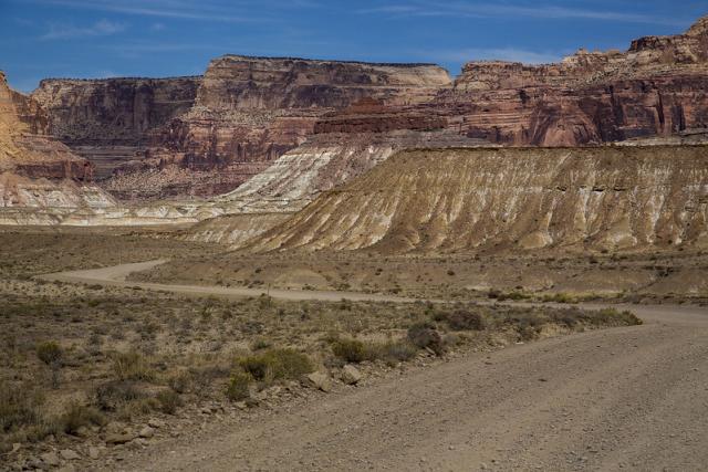
Dinosaur (North) travel management area. Photo by BLM Utah. - Dolores River (tentatively completed by Summer 2025)
-
The Dolores River Travel Management Area includes approximately 127,000 acres of public lands in Grand County, Utah, and roughly 284 miles of roads.
Planning Documents: Dolores Travel Management Plan
Interactive Maps: Dolores River TMP
Latest News: BLM seeks input for off-highway vehicle travel plan in southeastern Utah
Flickr Album: Dolores Travel Management
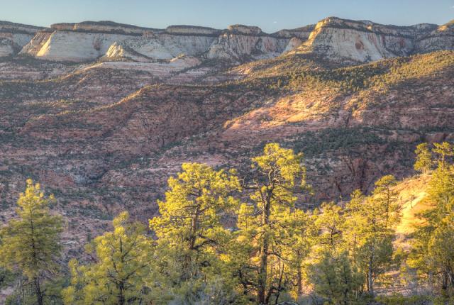
Dolores River Travel Management Area. Photo by BLM Utah. - Henry Mountains/Fremont Gorge (tentatively completed by end of December 2024)
-
The Henry Mountain/Fremont Gorge Travel Management Area includes approximately 1.7 million acres of public lands in Garfield and Wayne counties in southern Utah, and roughly 2,286 miles of roads.
Planning Documents: Travel Management Plan for the Henry Mountain Fremont Gorge Travel Management Area
Maps: Henry Mountain/Fremont Gorge TMP
Latest News: BLM seeks input for Henry Mountains and Fremont Gorge Travel Management Plan
Flickr Album: Color Country District: Henry Mountains
Henry Mountain landscape. Photo by BLM Utah. - Nine Mile Canyon (tentatively completed by April 2028)
-
The Nine Mile Canyon Travel Management Area includes approximately 506,654 acres of public lands in Carbon, Duchesne, and Unitah counties, Utah, and contains roughly 968 miles of roads.
Next release anticipated in 2028.
Flickr Album: Green River District: Nine Mile Canyon
Nine Mile Canyon landscape. Photo by BLM Utah. - Paunsaugunt (tentatively completed by second quarter of 2025)
-
The Paunsaugunt Travel Management Area includes approximately 185,950 acres of public lands in Kane County, Utah, and roughly 418 miles of roads.
Planning Documents: Paunsaugunt Travel Management Plan
Maps: Paunsaugunt TMP
Latest News: BLM seeks public input for Paunsaugunt Travel Management Plan
Flickr Album: Paunsaugunt Travel Management
Paunsaugunt Travel Management Area. Photo by BLM Utah. - San Rafael Swell (tentatively completed by end of November 2024)
-
The San Rafael Swell include more than 1.1 million acres of public land in Emery County and approximately 44,000 acres of public land in Sevier County. It contains roughly 2,161 miles of roads.
Planning Documents: San Rafael Swell Travel Management Plan
Story/Interactive Maps: San Rafael Swell Story Map
Latest News: BLM seeks input for San Rafael Swell Travel Management Plan
Flickr Album: San Rafael Swell Travel Management Plan
San Rafael Swell travel management area. Photo by BLM Utah. - Trail Canyon (tentatively completed by first quarter of 2025)
-
The Trail Canyon Travel Management Area (TMA) located in Kane County, Utah. The TMA is approximately 326,376 acres in size and is comprised of 182,760 acres of public lands, 33,766 acres of State lands, and 109,850 acres in private ownership. It contains roughly 490 miles of roads on public lands.
Planning Documents: Trail Canyon Travel Management Plan
Interactive Maps: Trail Canyon TMP
Flickr Album: Trail Canyon Travel Management
Trail Canyon. Photo by BLM Utah.
Completed
- San Rafael Desert (Completed - Aug. 2020)
-
The San Rafael Desert Travel Management Plan project area is in southeastern Emery County and contains 377,609 acres of BLM-managed public lands and roughly 1,203 miles of roads.
Planning Documents: San Rafael Desert Travel Management Plan
Routes impacted: The TMA contains roughly 1,203 miles of road.
- 646 miles open
- 534 miles closed
Maps: San Rafael Desert TMA Settlement Maps
Press Release (Aug. 21, 2020): BLM releases final San Rafael Desert Travel Management Plan
Flickr Album: San Rafael Desert Travel Management Plan
San Rafael Desert. Photo by BLM Utah. - Canyon Rims/Indian Creek (Completed - May 2021)
-
The Canyon Rims Travel Management area covers approximately 90,954 acres of public lands in northern San Juan County, Utah, encompassing two distinct areas: the western portion of the Canyon Rims Special Recreation Management Area and the Shafer Basin Area south of Dead Horse Point State Park.
Planning Documents: Canyon Rims Travel Management Plan
Routes impacted: The TMA contains roughly 272.5 miles of road.
- 226.5 miles open
- 46 miles closed
Maps: Canyon Rims TMP
Press Release (May 21, 2021): The BLM’s Canyon Rims Travel Management Plan designates routes for public motorized use while protecting resources
Flickr Album: Canyon Rims Travel Management Plan
Canyon Rims TMA. Photo by BLM Utah. - Labyrinth Rims/Gemini Bridges (Completed - Sep. 2023)
-
The Labyrinth Rims Gemini Bridges Travel Management Area consists over roughly 300,000 acres of public land in Grand County, Utah. The new plan provides predictability and clarity for users, minimizes user conflicts and damage to natural and cultural resources, meets access needs, increases public safety, and addresses law enforcement issues within the area. The BLM sought to minimize impacts to resources and user conflicts by focusing travel on routes where BLM’s data suggests that use is less impactful. Within the Moab Field Office, 96% of the Jeep Safari routes remain available for off highway vehicle use. These routes are generally well used and defined, and due to frequent and long-standing uses, additional impacts to natural and cultural resources, as well as user conflicts, were determined unlikely to occur.
* Active IBLA appeal. Stay was denied.
Planning Documents: Labyrinth Rims/Gemini Bridges Travel Management Plan
Routes impacted: The TMA contains roughly 1,127.5 miles of road.
- 810.5 miles open
- 317 miles closed
Maps: Labyrinth Rims/Gemini Bridges TMP
Press Release (Sep. 28, 2023): BLM Designates Labyrinth Rims Gemini Bridges Travel Management Plan
Flickr Album: Labyrinth Rims Gemini Bridges Travel Management Plan
Labyrinth Rim/Gemini Bridge travel management area landscape. Photo by BLM Utah.


