BLM Assessment, Inventory and Monitoring Team featured in Esri’s ArcUser magazine
Congratulations to the BLM Assessment, Inventory and Monitoring (AIM) Team for their feature in the winter 2024 edition of Esri’s ArcUser magazine! Esri is the global market leader in geographic information system (GIS) software, location intelligence, and mapping.
ArcUser magazine, started in 1998, provides practical, technical information to help people better understand and keep current with GIS technology and make the best use of Esri software. Its articles illustrate best practices and innovative ways to meet new challenges and solve common problems. Articles address the specific needs of GIS managers, GIS developers, GIS technicians, and those who use GIS to improve business processes or perform research.

Doug Browning, the AIM Team Geospatial Data Systems Architect contractor with Sanborn Map Company, was the subject of the ArcUser “Faces of GIS” section in the latest issue of the magazine. Browning is an Esri Community “Most Valuable Participant” (MVP). The Esri Community is a global community of Esri users where people can find solutions, share ideas, and collaborate to solve problems with GIS. Being designated an MVP recognizes Browning’s contribution of thousands of posts on the Esri Community’s message board, and hundreds of solutions helping other users with GIS challenges over the years.
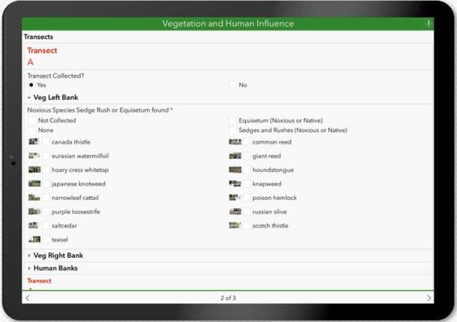
Browning designs and manages large integrated workflows that combine ArcGIS Online, ArcGIS Field Maps, and ArcGIS Survey123 collecting at more than 8,000 sites and the taking of more than 100,000 images each field season. His ArcGIS-enabled applications provide navigation to isolated survey sites, capture massive datasets over repeated day-long assessments, and convert that data into location-based information that’s useful to the BLM, its federal and nongovernmental partners, and the public.
The objective of the BLM AIM program is to provide a standardized monitoring strategy for assessing natural resource condition and trend on BLM-managed lands. The AIM Strategy provides quantitative data and tools to guide and justify policy actions and land use and adaptive management decisions. AIM embraces:
- Structured implementation to guide monitoring program development, implementation, and data use for decision-makers.
- Standardized field measurements to allow data comparisons through space and time in support of multiple management decisions.
- Appropriate sample designs to minimize bias and maximize the inference area of collected data.
- Data management and stewardship to ensure data quality, accessibility, and use.
- Integration with remote sensing to optimize sampling and calibrate continuous map products.
Story by Doug Browning, AIM Data Architect
- Article: https://www.esri.com/about/newsroom/arcuser/sustaining-public-lands-with-location-data/
- Full PDF of the winter 2024 ArcUser magazine: https://www.esri.com/content/dam/esrisites/en-us/newsroom/arcuser/au-winter24.pdf
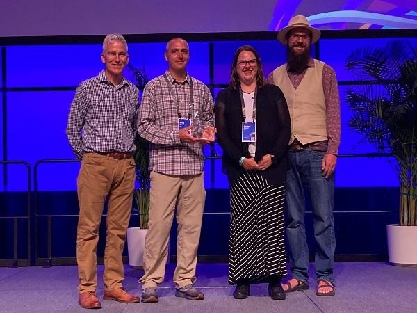
The BLM Assessment, Inventory & Monitoring team at the National Operations Center was honored with a 2022 Esri Special Achievement in GIS (SAG) Award at the Esri User Conference. The annual award recognizes the outstanding use of, and leadership in, the field of Geographic Information System (GIS) technology. The BLM was the sole federal agency among this year's recipients. Read the ESRI article.

