
Washington-Rochambeau Revolutionary Route National Historic Trail |
Journey through early American history and walk in the footsteps of our nation’s founding fathers as you explore the Washington-Rochambeau Revolutionary Route (WRRRNHT). This National Historic Trail commemorates over 680 miles of land and water trails followed by the allied armies of General George Washington and the French Lieutenant General Comte Jean de Rochambeau. During their 1781 march from Newport, Rhode Island to Yorktown, Virginia, the French army established an encampment on what is now the Meadowood Special Recreation Management Area (SRMA). A segment of this trail connects with a BLM system of trails crossing the SRMA on the historic Mason Neck Peninsula, just a short drive from the nation’s capital.
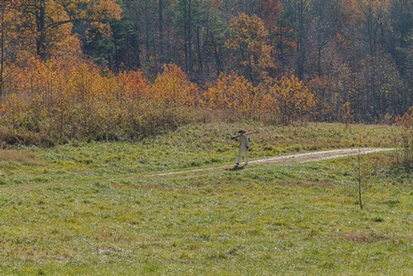
The WRRRNHT follows the historical route taken by George Washington and French General Rochambeau during the Revolutionary War. The course of the American Revolution unfolds along this 700-mile trail across ten states. General George Washington and French General Rochambeau led their combined forces on this path to the siege of Yorktown. The effort and cooperation between the two sides secured American independence. Over 250 years ago, Meadowood was an encampment site used by portions of General Rochambeau’s army during the march to and from Yorktown. This area was used by the baggage train and a detachment of Hussars (light cavalry) on the march to Yorktown in September of 1781. Five different detachments of Rochambeau’s army used Meadowood during the army’s return march in July 1782. In 2012, archaeological investigations identified the location of the site when musket repair tools, bayonet fragments, and iron kettle pieces indicative of a military encampment were found. Additional archaeological research is under development to better understand the precise structure and layout of the encampment. At Meadowood, the trail transects open meadows, enters mature hardwood forests, and crosses riparian wetlands. Visitors can hike this 1.6-mile historic trail and be on the lookout for interpretive signage.
While in the area, visit Gunston Hall, the home of Founding Father George Mason, a strong supporter of individual liberties and the author of the Virginia Declaration of Rights. Many of the concepts in that document found embodiment in the first ten amendments to the U.S. Constitution, and the Bill of Rights.
Photos
Contact Us

Activities


Geographic Coordinates
Directions
From Interstate 95 South: Exit 163 to Lorton. Turn left onto Lorton Rd, continue under second overpass and turn right onto Lorton Market St. Continue approximately 1.5 miles to U.S. Route 1. Proceed straight through intersection with Route 1, when the road name changes to Gunston Rd. In 1 mile, the Mason Neck Gateway is on the right, after Gunston Elementary School. The trailhead for the route begins at the gateway. Additional parking is at Giles Trailhead which is located on Old Colchester Rd.
From Interstate 95 North: Take exit 161 to Lorton, U.S. Route 1 North. Proceed about 1.5 miles to the first stop light. Turn right onto Gunston Rd. Go about 1 mile, the entrance will be on the right.
Trailhead Address:
- Mason Neck Gateway Trailhead: 10110 Gunston Rd
- Giles Trailhead: 10207 Old Colchester Rd