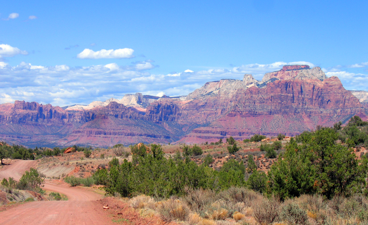
Smithsonian Butte National Back Country Byway
Smithsonian Butte National Back Country Byway travels for 9.25 miles between Rockville and Apple Valley, Utah, just south of Zion National Park. The Back County Byway transports visitors from the Virgin River floodplain, through pinyon-juniper woodlands, to sagebrush desert at the Big Plain Junction of Highway 59. Spectacular views along the route include Smithsonian Butte, Eagle Crags, Vermilion Cliffs within the Canaan Mountain Wilderness, and the prominent sandstone pinnacles of Zion National Park. East of the Byway, Gooseberry, Grafton, and Wire Mesas provide an extensive network of trails for non-motorized recreation.
Camping is prohibited on federally managed lands within 1/2 mile of either side of the Back Country Byway. Dispersed camping is permitted on BLM lands throughout Gooseberry Mesa.
A short side trip of approximately 1.8 miles (3.6 miles round trip) leads to the historic ghost town of Grafton, first settled in 1861(http://www.graftonheritage.org/). Several rehabilitated buildings and interpretive information provide a glimpse into early pioneer life along the Virgin River. Take the Bridge Road out of Rockville and turn right at mile 1.6 of the Back Country Byway for access.
PLEASE BE ADVISED: This route often becomes impassable during heavy rain and periods of inclement winter weather. No services are available along the Byway.
Photos
Accessibility Description (ABA/ADA)
No accessible facilities.
Phone
Activities
Addresses
Geographic Coordinates
Directions
From Rockville, UT (north): Turn south on Bridge Road. After 0.3 miles, continue around sharp righthand turn onto 250 South/Grafton Road. In 1.3 miles, turn left onto Smithsonian Butte National Back Country Byway. From Apple Valley, UT/State Hwy 59 (south): Turn north onto Main Street. Proceed 2.9 miles onto Smithsonian Butte National Back Country Byway.
Fees
No fees.


