Piper Mountain Wilderness
Overview
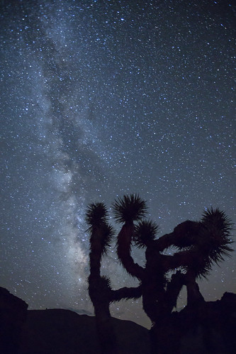
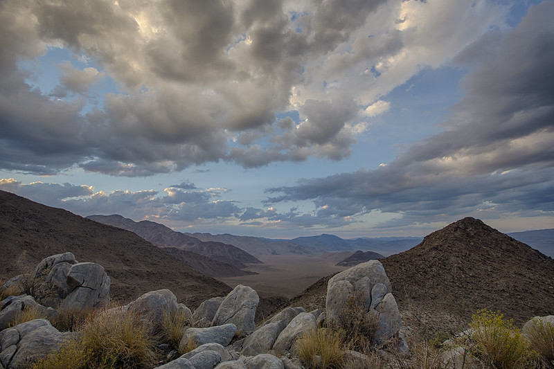
The Piper, Sylvania, and Inyo Mountains meet in Piper Mountain Wilderness. Alluvial fans cover large portions of the eastern side of the area. Wide, barren plains and dry hills form much of the landscape. The region is divided into three separate sections by non-Wilderness four-wheel-drive roads (along the seven miles of northeast-southwest Horse Thief Canyon, and north-south from Chocolate Mountain to the edge of Death Valley National Park). Sagebrush and piñon-juniper woodlands are the most common vegetation, though conifers grow in some of the higher elevations. Desert bighorn sheep live in at least three locations within this area. At the base of the Inyo Mountains, you'll discover one of the northernmost stands of Joshua trees.
For more information about this wilderness, please visit Wilderness Connect.

Leave No Trace
How to follow the seven standard Leave No Trace principles differs in different parts of the country (desert vs. Rocky Mountains). For more information on any of the principles listed below, please visit Leave No Trace, Visit the Leave No Trace, Inc. website.
- Plan Ahead and Prepare
- Travel and Camp on Durable Surfaces
- Dispose of Waste Properly
- Leave What You Find
- Minimize Campfire Impacts
- Respect Wildlife
- Be Considerate of Other Visitors
Rules and Regulations
Motorized equipment and equipment used for mechanical transport are generally prohibited on all federal lands designated as wilderness. This includes the use of motor vehicles (including OHVs), motorboats, motorized equipment, bicycles, hang gliders, wagons, carts, portage wheels, and the landing of aircraft including helicopters, unless provided for in specific legislation. In a few areas some exceptions allowing the use of motorized equipment or mechanical transport are described in the special regulations in effect for a specific area. Contact the agency for more information about regulations.


