Pine Hill Preserve Area of Critical Environmental Concern
Remember your OUTDOOR ETHICS when enjoying your public lands. Please RECREATE RESPONSIBLY.
Overview
The Pine Hill Preserve is a cooperative conservation effort among 10 federal, state, and local entities to protect the habitat of eight rare plant species. The Preserve lands and the adjacent Kanaka Valley, located approximately 30 miles east of Sacramento, consist of 4,940 acres of federal, state and county lands. About 70% of the Preserve lands have dense clusters of rare plants within an area designated for the recovery of five federally listed rare plants. The BLM manages these lands where about 10% of the California Native flora is represented.
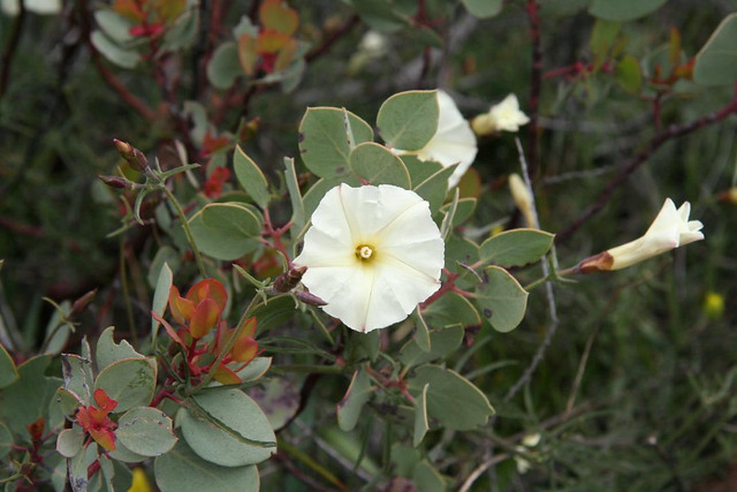
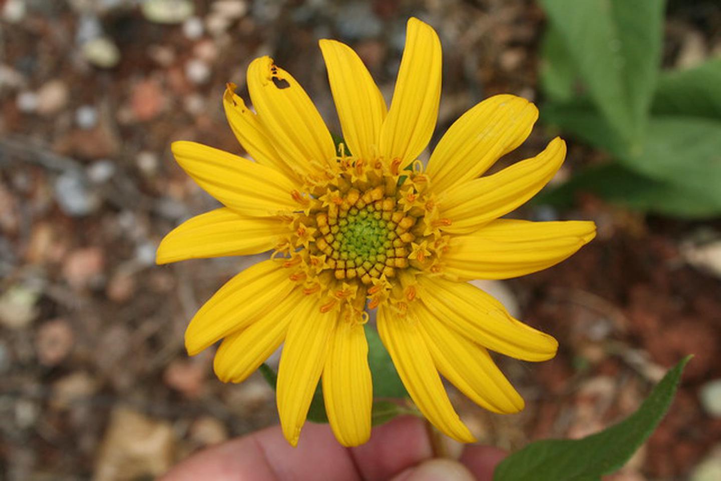
Pine Hill Preserve is home to a collection of eight rare plant species. Four of the plant species that grow in the Pine Hill Preserve are endemic, which means they grow nowhere else in the world. One species is nearly endemic, with only a few plants found elsewhere. This assemblage of rare plants is part of a unique community confined to soils known as the Rescue soils, named after the nearby community of Rescue, CA.
- El Dorado bedstraw
- Pine Hill Ceanothus
- Pine Hill Flannelbush
- Stebbins' morning-glory
- Layne's butterweed
- Red Hill soaproot
- El Dorado mule-ears
- Bisbee Peak rush-rose
The mission of the Pine Hill Preserve is to conserve in perpetuity the rare plant species and plant communities of the western El Dorado County gabbro soil formation located in western El Dorado County.
Become a Volunteer at the Pine Hill Preserve ACEC
THE PARTNERSHIP
The Pine Hill Preserve is operated under a cooperative management agreement between the following agencies and organizations:
- California Department of Fish and Wildlife
- California Department of Forestry and Fire Protection
- El Dorado County
- El Dorado County Water Agency
- El Dorado Irrigation District
- U.S Bureau of Land Management
- U.S. Bureau of Reclamation
- U.S. Fish and Wildlife Service
- American River Conservancy
- California Native Plant Society
Hunting and Shooting Info:
- No target shooting
- No closure, but we discourage hunting because of minimal public access and the high density of people and homes surrounding the parcels (Lotus & Cameron Park parcels)
NOTE: All California game species are regulated by the California Department of Fish and Wildlife (CDFW). Rules, regulations, and seasons are controlled by CDFW, and it is the hunter's responsibility to verify and comply with proper species, seasons, zones, regulations, and legal location if hunting on public lands.
FGC 3004 — It is unlawful for any person to hunt or discharge while hunting, any firearm or other deadly weapon within 150 yards of any occupied dwelling house, residence, or other building or any barn or other outbuilding used in connection therewith. The 150 yard area is a "Safety Zone."
Helpful Links:
- Where to Shoot
- California Department of Fish & Wildlife
- Hunting, Fishing and Recreational Shooting on Public Lands, BLM California
Return To: BLM, Mother Lode Field Office
Photos
KANAKA VALLEY
The Kanaka Valley is 695-acres of diverse plant and animal habitat. The property provides a wildlife corridor that links federal and state public lands along the South Fork American River and protected lands of the Pine Hill Preserve. There are 269 acres of blue oak woodland, interior live oak woodland and valley oak woodland as well as 24 acres of riparian habitat along Jill’s Creek and Crocker Creek. In 107 acres of annual grasslands, wildflowers make a seasonal appearance.
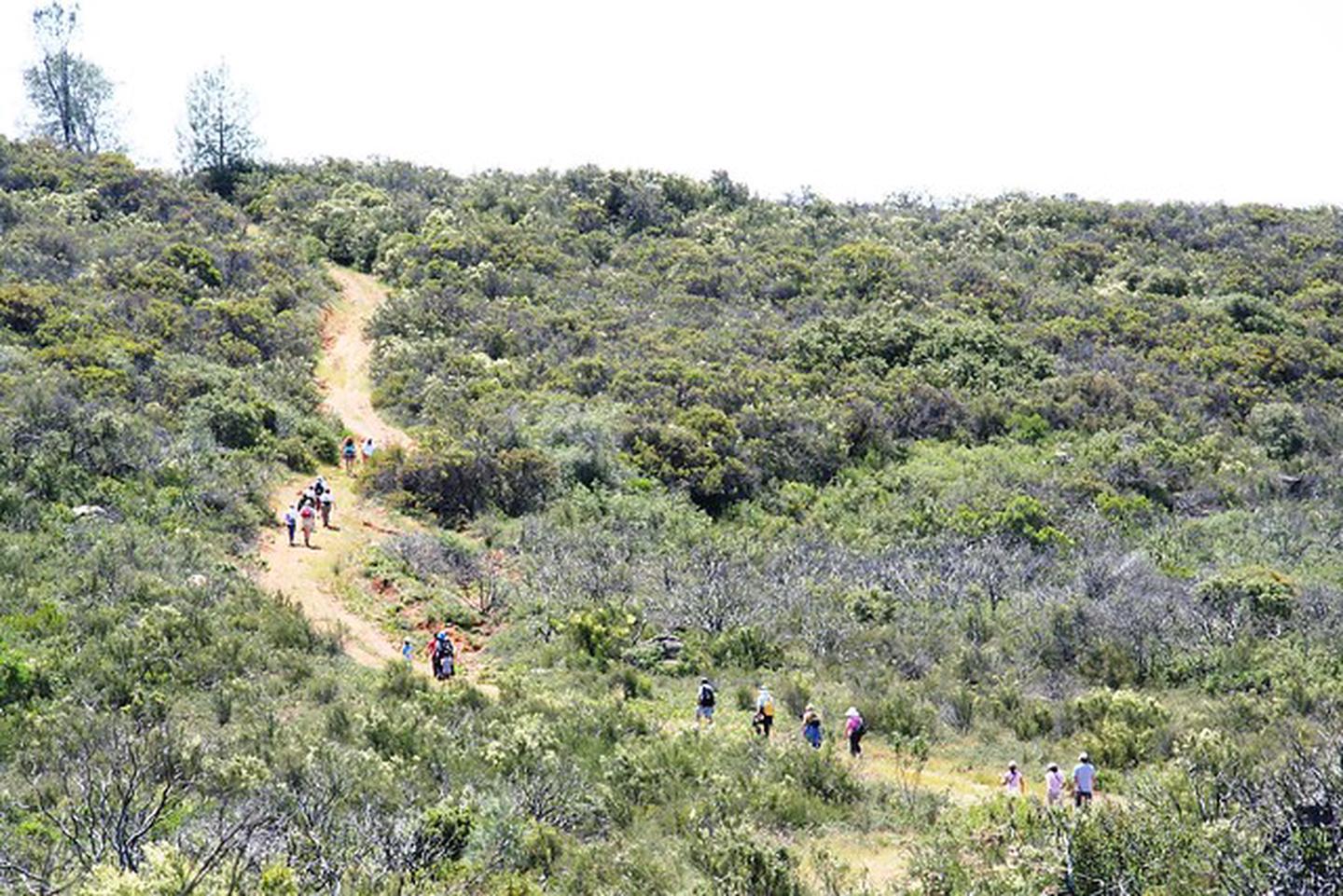
Kanaka Valley also contains 295 acres of chaparral, which provides habitat for seven rare plants, including four federally listed plant species. Kanaka Valley was brought into federal ownership in February 2010 through a cooperative acquisition process to preserve riparian, hardwood and oak woodland habitat as well as to help protect populations of federally listed plant species.
What you need to know:
- Campfires are not allowed
- Overnight camping is not allowed
- Target shooting, plinking, and similar activities are not allowed
- Recreational gold seeking - Hands and Pans only. No mining claims.
- Horseback riding, mountain bikes and other non-motorized travel - on designated trails only
- Recreationists with dogs should follow the El Dorado County Leash Law
- Firewood permits - issued on a case by case basis
- Special Recreation Use Permit - issued on a case by case basis
- Leave No Trace - Pack it in, Pack it out
Hunting is allowed only with the following:
- Bow and arrows
- Smoothbore shotguns
- Muzzle loaders - only after fire season is declared over by BLM
- Air guns of .22 caliber or less
Hunting for bear, squirrels, rabbits, jackrabbits, waterfowl, furbearers, or non-game species is not allowed.
Hunting is restricted to deer and turkey in the fall season, deer during the summer archery-only season, quail and mourning doves in the fall season, and turkey under a special spring lottery hunt.
Phone
Activities
Addresses
Geographic Coordinates
Directions
The BLM parcels that compose the Pine Hill Preserve are open to the public year round for passive recreation activities. Access is limited to foot traffic only and there is no designated parking for most of the Preserve sites, except for the Salmon Falls and Kanaka Valley sites.
From Sacramento take Hwy 50 east to the Bass Lake Rd. exit (Exit 32) and turn left (north). Continue onto Bass Lake/Marbe Valley Rd. for about 4 miles, turn left (west) onto Green Valley Rd. and travel 1.4 miles. Take a right on Deer Valley Road for 2.2 miles, then a slight left (North) on Kanaka Valley Rd., continue for about 1.6 miles until you encounter a sharp right turn and two green gates on the left side of the road. At this point you have reached the trail access; park near the gates following indications on the signs.


