Meadowood Special Recreation Management Area | Virginia
The Meadowood Special Recreation Management Area (SRMA) offers 13.4 miles of hiking trails, 7 miles of horseback riding trails and 6.6 miles of mountain biking trails. It is the site of 2 fishing ponds (one of which is universally accessible), 800 acres of forest and meadows, environmental education programs, equestrian facilities, geocaching, and bird watching. Meadowood provides year-round environmental education and Jr Ranger programs for homeschoolers, public and private schools, local 4-H groups and community youth agencies.
Test your biking skills on our three single track trails with their own flavor and style: Yard Sale (known as our downhill pump track) is a fast and flowing rhythm with table tops; Stinger is a rustic and narrow, predominately hand built trail with natural obstacles; and Boss is a chunky flow trail with rock gardens, drop offs, and three-dimensional wooden features like rolling boardwalks and banked turns. These trails are geared toward the intermediate skilled rider, with options for beginners and experts alike.
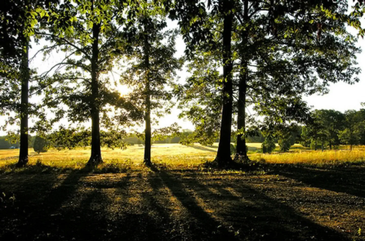
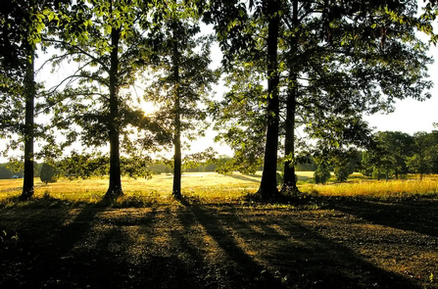
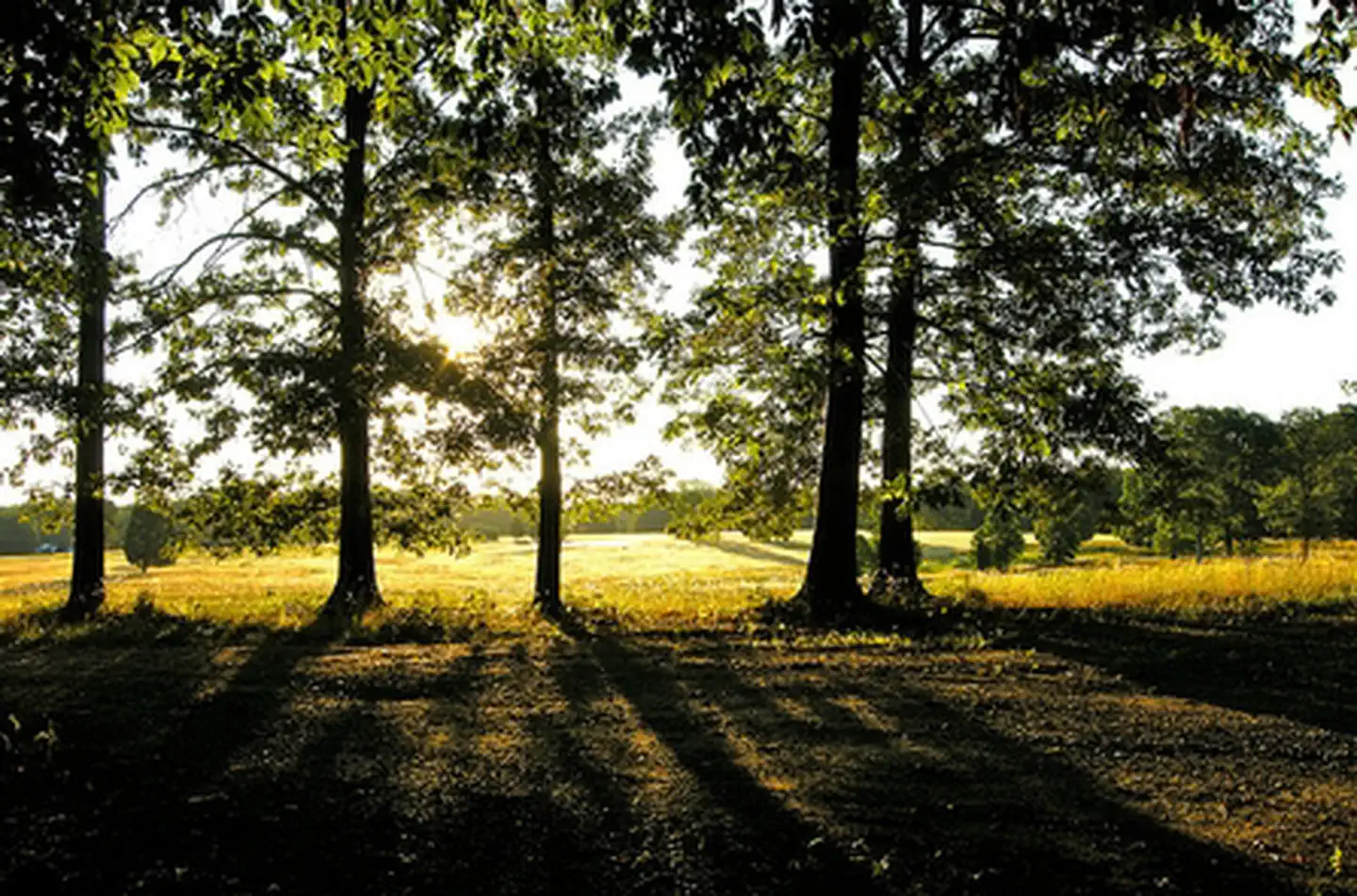
This landscape mosaic contains a variety of terrains and vegetation types. These include gently sloping open meadows, mature hardwood forests along steep slopes and floodplains, and riparian areas, freshwater ponds and streams. Red and white oak, beech, sweet gum, Virginia pine, and persimmon, which are common sights in mid-Atlantic woodlands and appear throughout the forests at Meadowood. The ponds, streams and riparian areas in the SRMA host a wide variety of insects, fish and other wildlife.
BLM and the State of Virginia survey the population in the fishing ponds periodically and restock them when needed. Grass-eating carp are among the species stocked in the ponds; they cannot reproduce, and they eat invasive aquatic weeds, which would otherwise overwhelm small ponds. In addition to stocked species, the American eel appears in the area’s ponds and streams and serves as attractants to the local Bald eagles. Migrating waterfowl such as various duck species, Canada geese, and herons commonly occur at water features. Songbirds, dragonflies and butterflies are abundant not only in the ponds and meadows, but within the myriad acres of edge habitat. Whitetail deer, fox squirrels, and red fox abound throughout Meadowood. The North American beaver makes the occasional appearance in the floodplains of Thompson Creek, Giles Run, and South Branch, as well as at Enchanted Pond.
Photos
Accessibility Description (ABA/ADA)
Parking: The site has 6 trailhead parking lots. Three of these lots—the paved lot at the Lower Potomac Field Station, and the gravel lots at the Mustang and Mason Neck trailheads—each provide 1 designated accessible parking spot.
Toilets: There is 1 accessible restroom with flush toilets at the Field Station as well as 1 accessible single vault toilet near the Hidden Pond Trailhead and parking lot.
Sidewalks: A sidewalk connects the parking lot to the restroom and front lobby of the Field Station. At the Mason Neck Trailhead, there is a sidewalk from the parking lot to the nearby information kiosk and trail network.
Picnic areas: At the Field Station, there are four accessible picnic tables with extended tops to accommodate wheelchair users. Two of the other trailheads each have an accessible picnic table: 1 at Mustang Trailhead near Enchanted Pond, and 1 near the Hidden Pond Trailhead near Hidden Pond.
Trails: There are 2 accessible trails. Hidden Pond Trail is a 0.3-mile trail made of a bonded rubber mulch that connects the trailhead to Hidden Pond’s accessible fishing dock. The other trail is called Eagle Trail, which is used by the adjacent Gunston Elementary School and accessed via school property.
Other accessibility features: There are angled interpretive signs along the trail network. In addition, a community garden is located behind the Lower Potomac Field Station and a pollinator garden at Mustang Trailhead.
Cell phone service can be spotty throughout the site but is probably best in the parking areas. No potable water is available at the site.
NOTE: Descriptions and photos uploaded January 2025. Please note that actual on-the-ground conditions may vary due to natural events (e.g., weather, wildfires, erosion), normal wear and tear, or site improvements.
Contact Us
Activities
Addresses
Geographic Coordinates
Directions
From Interstate 95 South: Exit 163 to Lorton. Turn left onto Lorton Rd, continue under the second overpass and turn right onto Lorton Market St. Continue approximately 1.5 miles to U.S. Route 1. Proceed straight through intersection with Route 1, when the road name changes to Gunston Rd. Continue for 1 mile; the entrance to the Meadowood SRMA is on the right.
From Interstate 95 North: Take exit 161 to Lorton, U.S. Route 1 North. Proceed about 1.5 miles to first stop light. Turn right onto Gunston Rd. Go about 1 mile to find the entrance on right.
Fees
No fees


