
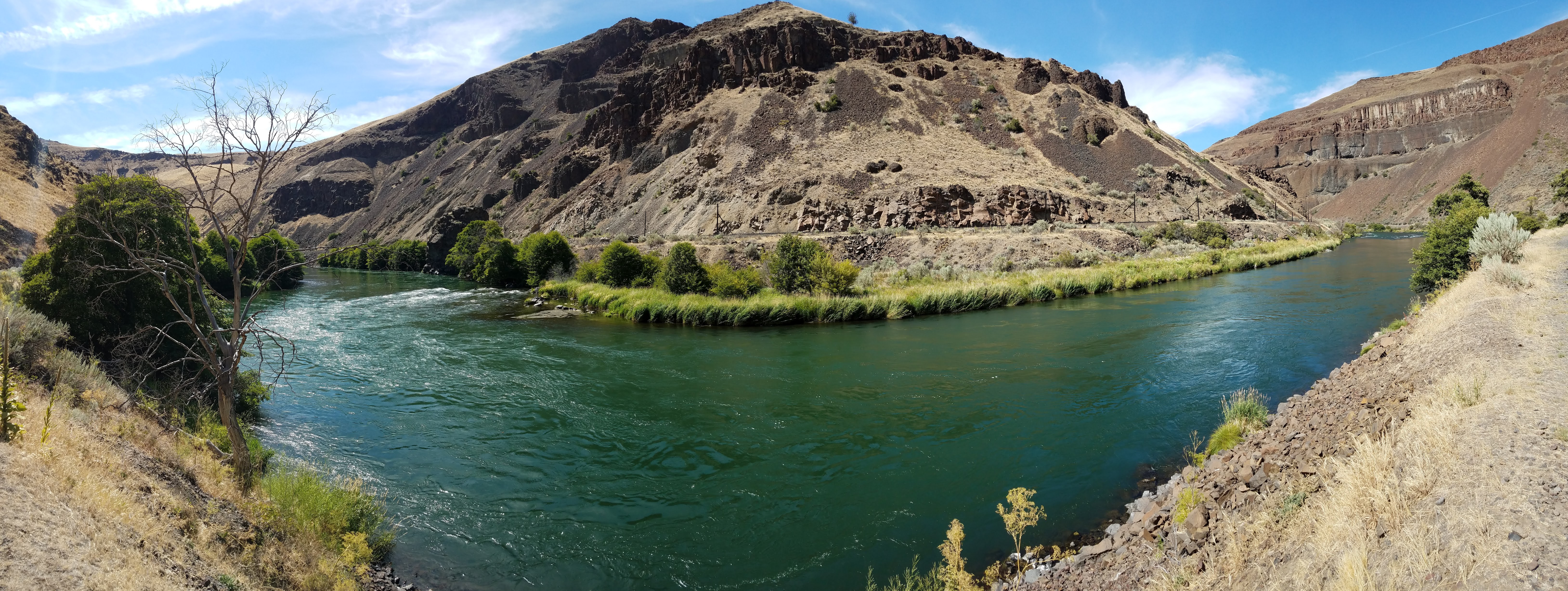
Locked Gate Day Use Area
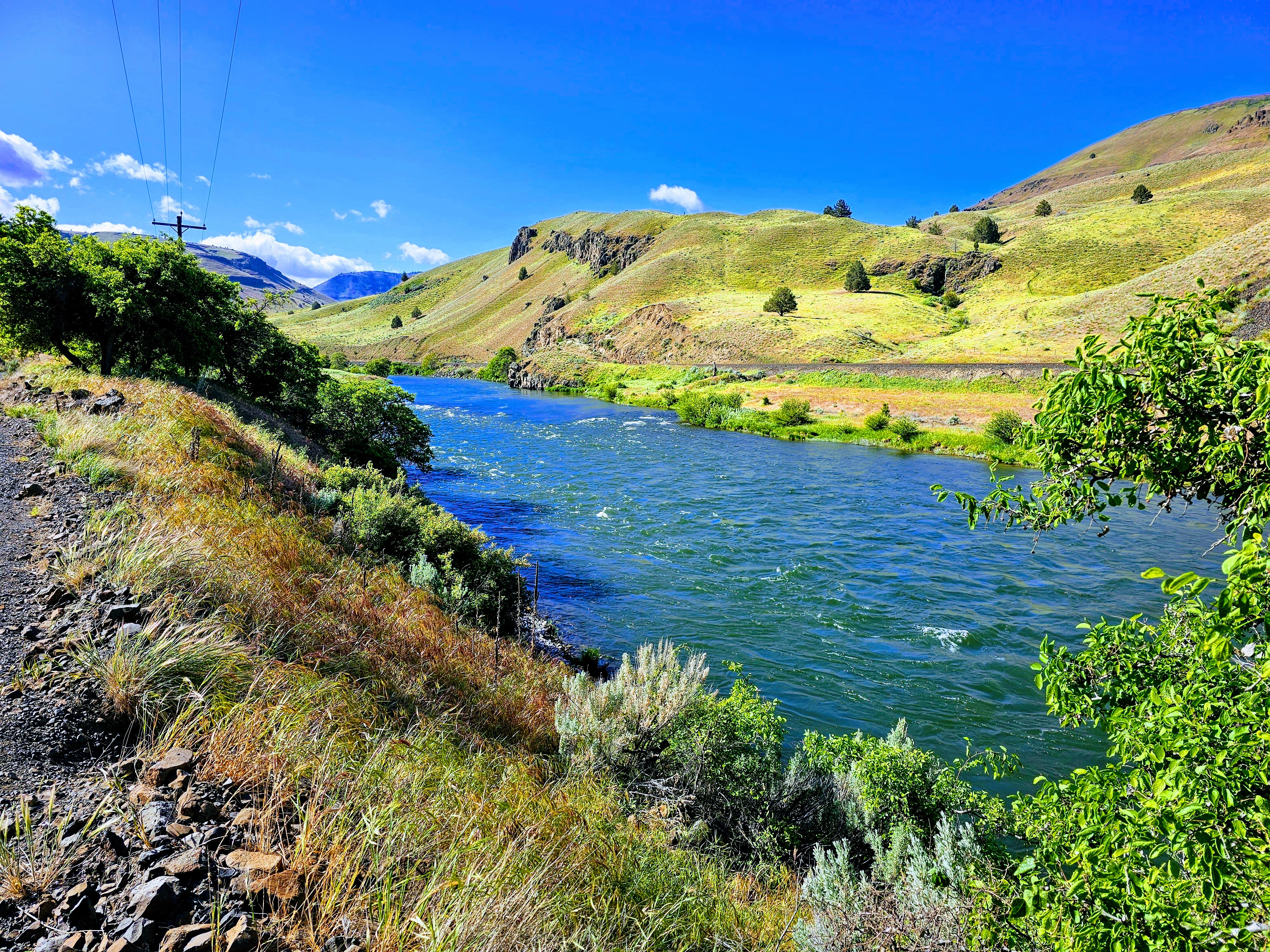
You know when you've arrived at Locked Gate Day Use Area. The name may be a bit unimaginative but it is the locked gate at this location that precludes further public motorized access to the south. Here, however, you can park your vehicle, load your pack and hike another 4.7 miles along the Deschutes River Trail to the far more imaginatively-named Buckskin Mary Rapids. Motorized use on the trail-atop-a-road beyond the gate is open only to private land owners.
Know Before You Go
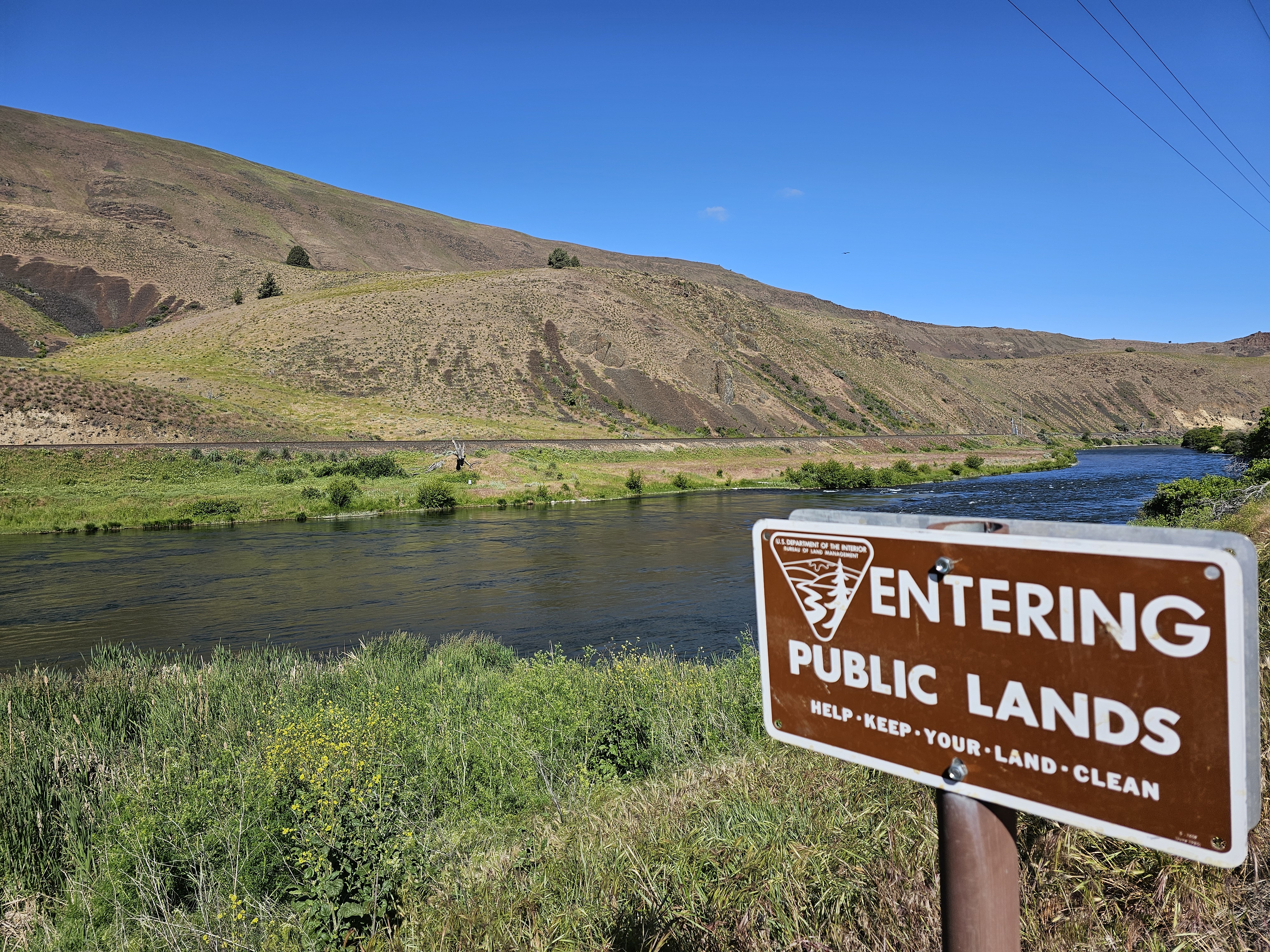
- Private Property: Respect the surrounding private property; leave the trail only when crossing designated public lands.
- Boundaries: Look for "Entering" and "Leaving" signs that mark the boundaries of public land.
- Regulations: Firearms and wheeled vehicles, including bicycles, are not permitted beyond the gate on private lands as per owner rules.
- River Access: There is a steep but short trail leading to the river from the day use area. No boat launching or overnight camping is allowed.
As you prepare for your hike, keep these guidelines in mind to ensure a safe and respectful experience at Locked Gate Day Use Area.
Photos
Accessibility Description (ABA/ADA)
The parking area features a gravel surface that is generally firm and stable for easier navigation. Additionally, there is an accessible vault toilet available on-site.

Phone
Activities

Addresses
Geographic Coordinates
Directions
From City Park in Maupin, Oregon: Drive south via BLM Access Rd/Deschutes River Rd for 7.5 miles; the recreation site is at the gated road terminus.
Fees
No fees.