
Las Cienegas National Conservation Area | Arizona
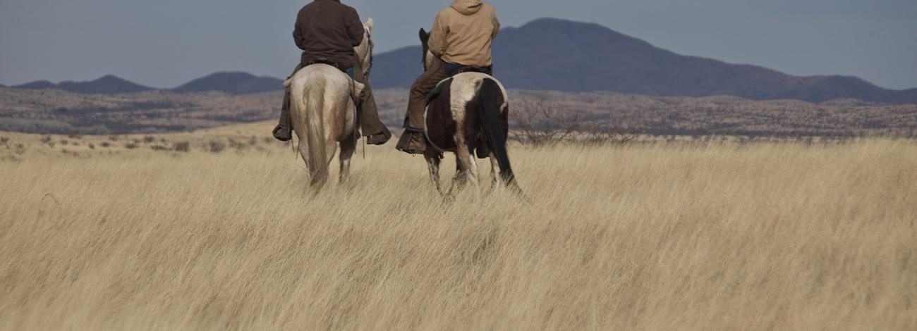
In a state where desert arroyos, washes, and many streambeds remain bone-dry most of the time, the year-round flow of Cienega Creek makes it a highly valuable resource. A lush green ribbon of vegetation defines one of the most significant riparian zones in southern Arizona. Cienega Creek gets its name from the cienegas, or marshes, which occur along its length. This rare vegetation community has nearly disappeared in the Southwest.
If you are interested, you can now access an audio tour of the Cienega Watershed. Just download the free TravelStorys app to your phone.
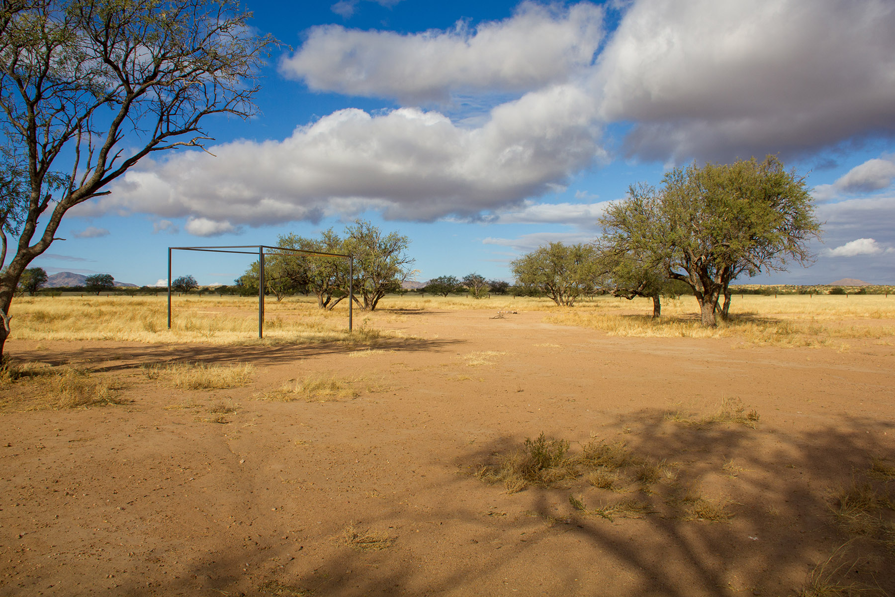
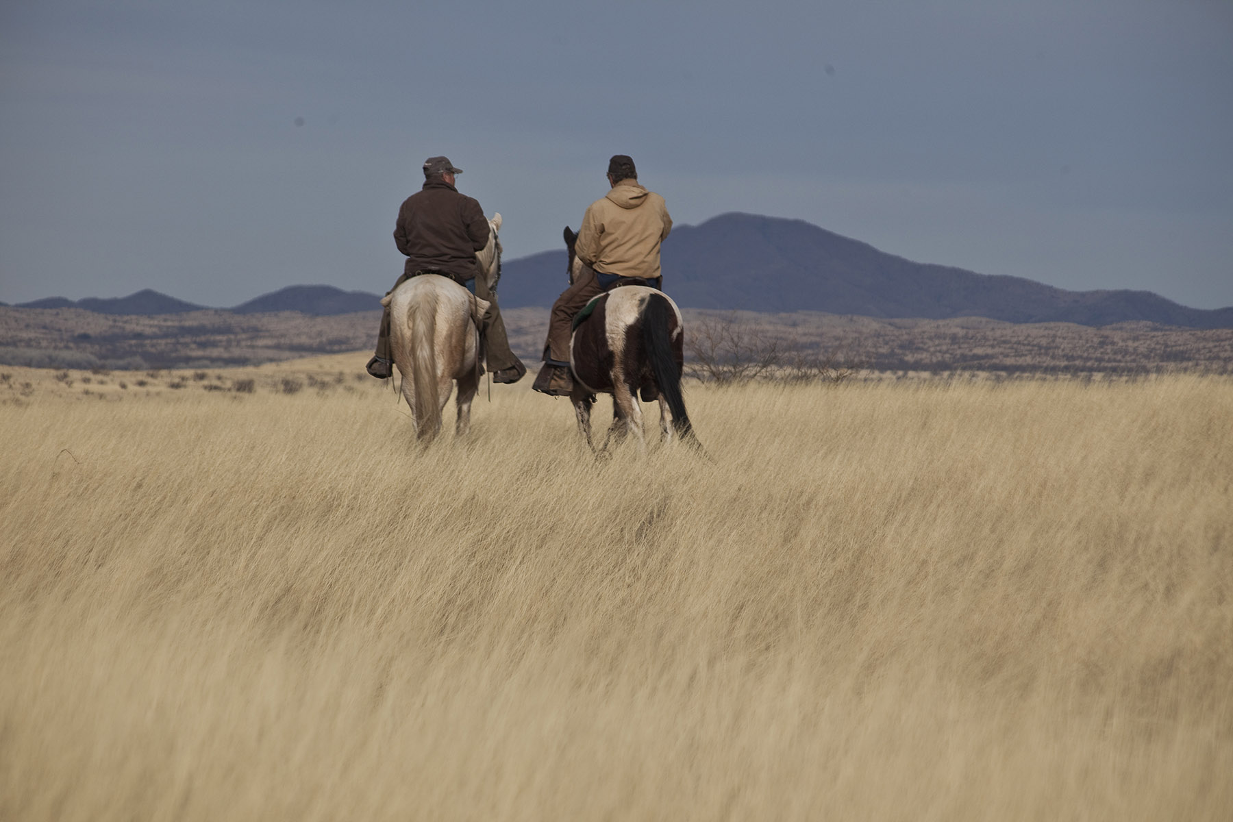
The national conservation area includes a working cattle ranch. Visitors are asked to leave all gates as they are found. There is no trash pick up, so visitors need to pack up all trash.
The area is a travel corridor for undocumented immigrants traveling from Mexico. Report all suspected illegal activities to BLM or local law enforcement authorities. Stay safe by avoiding contact with people who are exhibiting suspicious behavior or engaged in dangerous activities.
Photos
Accessibility Description (ABA/ADA)
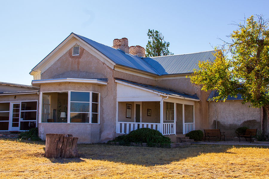
Empire Ranch Headquarters
Visitors who use wheelchairs and other mobility devices can access some of the rooms at the historic Empire Ranch headquarters through the front breezeway entrance.
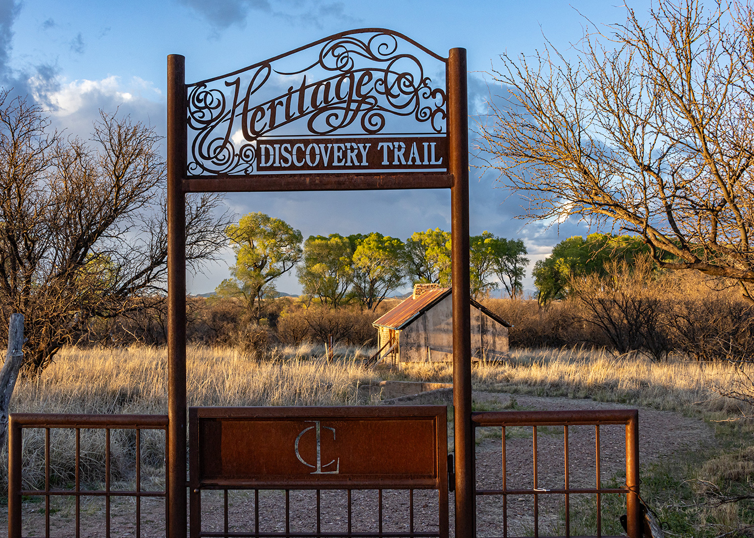
Heritage Discovery Trail
View images of accessibility features in a new window.
Visitors can learn about the history of the "Hired Man's House" and the "New Ranch House" while exploring the accessible Heritage Discovery Trail located along Empire Gulch in the Empire Ranch headquarters area in the Las Cienegas National Conservation Area.
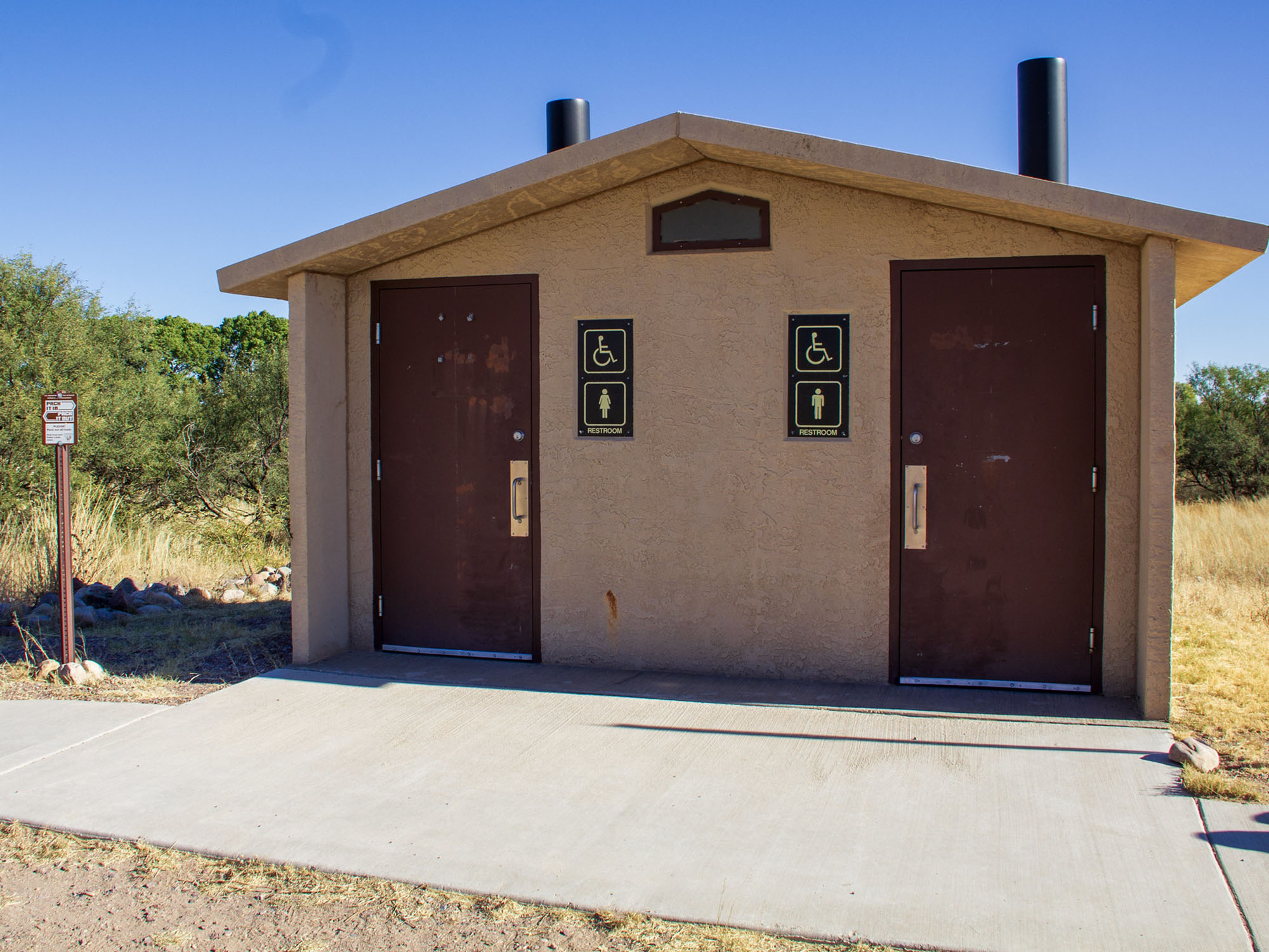
There is a small, packed-gravel parking lot near the trailhead, with 2 designated accessible parking spaces on a concrete pad. A concrete pathway leads from the accessible parking to a double vault toilet. Cell phone reception at this site is good.
Near the toilet is a water spigot with an easy-to-use lever valve. In addition, there is an interpretive sign with audio interpretation, provided when visitors turn a hand crank at a height appropriate for wheelchair users.
The Heritage Discovery Trail is a ½-mile-long loop with a surface of compacted gravel. The Trail has a grade of less than 5 percent. There are 11 benches without arms, 10 of them at the amphitheater along the Trail. The segment that leads to the Grove House is more rocky and steep and may present challenges for some visitors.
The barn and other buildings on the site were built beginning in the 1870s and have not been modified to enhance accessibility. There are no established picnic areas, but picnic tables sitting on natural surface are scattered throughout the site. These tables have inset legs that allow wheelchair users to pull up to each end.
Plentiful interpretive and informational signs allow visitors to take a self-guided tour.
This area is part of the Cienega Watershed TravelStorys Audio Tour. TravelStorys, a BLM Partner, enables users to hear place-based descriptions of an area while driving. Download the app in advance, and it launches automatically as travelers approach the site, without needing cell service or Wi-Fi.
Descriptions and photos uploaded March 2025. Please note that actual on-the-ground conditions may vary due to natural events (e.g., weather, wildfires, erosion), normal wear and tear, or site improvements.
Flickr Album

Contact Us

Activities


Addresses
Geographic Coordinates
Directions
From Tucson, go east on Interstate 10 and then south on state Route 83 to the wildlife area turnoff near milepost 40.
Fees
You do not need a permit to visit the national conservation area. However, commercial, competitive, and large organized group events require a special recreation permit.