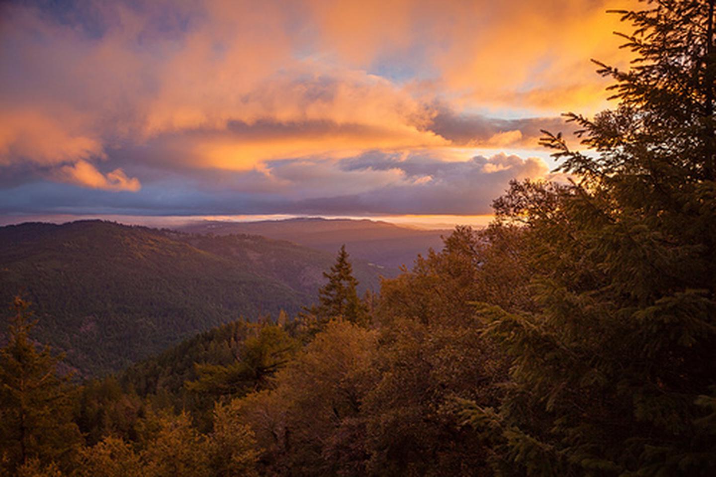
Lacks Creek Management Area
Lacks Creek is a recreational treasure hidden in the coast range and offers a wide range of outdoor opportunities. Ride your horse or bike along the shared use trails, or find your own secluded campsite with a view. Lacks Creek is located in California's northern Coast Range, approximately 15 miles inland from the Pacific Ocean. The area is in Humboldt County, approximately 20 miles northeast of Eureka. The management area includes 8,673 acres of BLM managed public lands 7,377 acres are within the Lacks Creek watershed, with the other acreage made up of contiguous lands. The management area is surrounded by large private land timber holdings, and the region contains some of the most productive and intensively managed commercial forest lands in the United States. The immediate area is sparsely populated with scattered ranches in adjacent Redwood Valley.
Photos
Phone
Geographic Coordinates
Directions
Drive east on Highway 299 for 17.8 miles from Highway 101. Turn left at the Redwood Valley turn off (Bair Road) and travel 3.9 miles. Make a right turn at the sign that reads "Hoopa - 22 miles", and travel 5.9 miles up this windy gravel road. The entrance is a left turn. For a map, click here. For current road conditions please do not hesitate to call the Arcata Field Office at (707) 825-2300.


