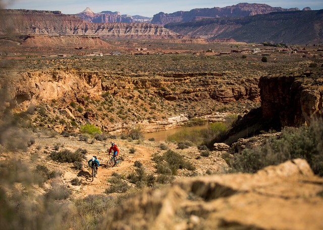
Hurricane Cliffs Trail System
This expansive trail system was planned with mountain biking in mind and currently includes nearly 40 miles of beginner and intermediate trails. The iconic scenery and flowing singletrack that define the area attract visitors from around the around.
The trail system is defined by La Verkin and Hurricane, UT immediately to the west, UT State Route 9 as the northern boundary, and the sheer flanks of Gooseberry Mesa looming to the east.
Numerous trailheads and access points along UT State Route 59 as well as Sheep Bridge Road provide unlimited opportunity for creative loops and variety for trail users. Please see Directions for recommended day-use parking.
Camping throughout Hurricane Cliffs is limited to 56 Designated Dispersed Sites that were implemented to protect the expansive views and scenic integrity of the area.
- Each official site contains a numbered placard and metal fire ring. Camping outside of official, designated sites is prohibited.
- All sites are typically accessible by any medium clearance vehicle.
- Camping on BLM Lands is allowed for a period not to exceed 14 days within a 28 consecutive day period.
Chinatown Wash Trail
Photos:
Mountain Biking: Gooseberry Mesa and Hurricane Cliffs | Flickr
Phone
Activities
Addresses
Geographic Coordinates
Directions
Jem Trailhead - BLM Site Includes: Vault Toilet, Bike Repair Stand, Information Kiosk
Sheep Bridge Trailhead - BLM Site Includes: Vault Toilet, Bike Repair Stand, Information Kiosk
Hurricane Hill Trailhead - Non-BLM Site
Virgin Dam Trailhead - BLM Site Includes: Vault Toilet, Information Kiosk


