Grizzly Peak Trail
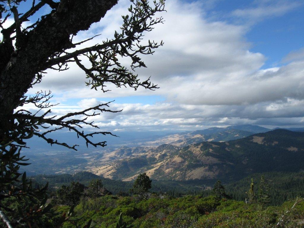
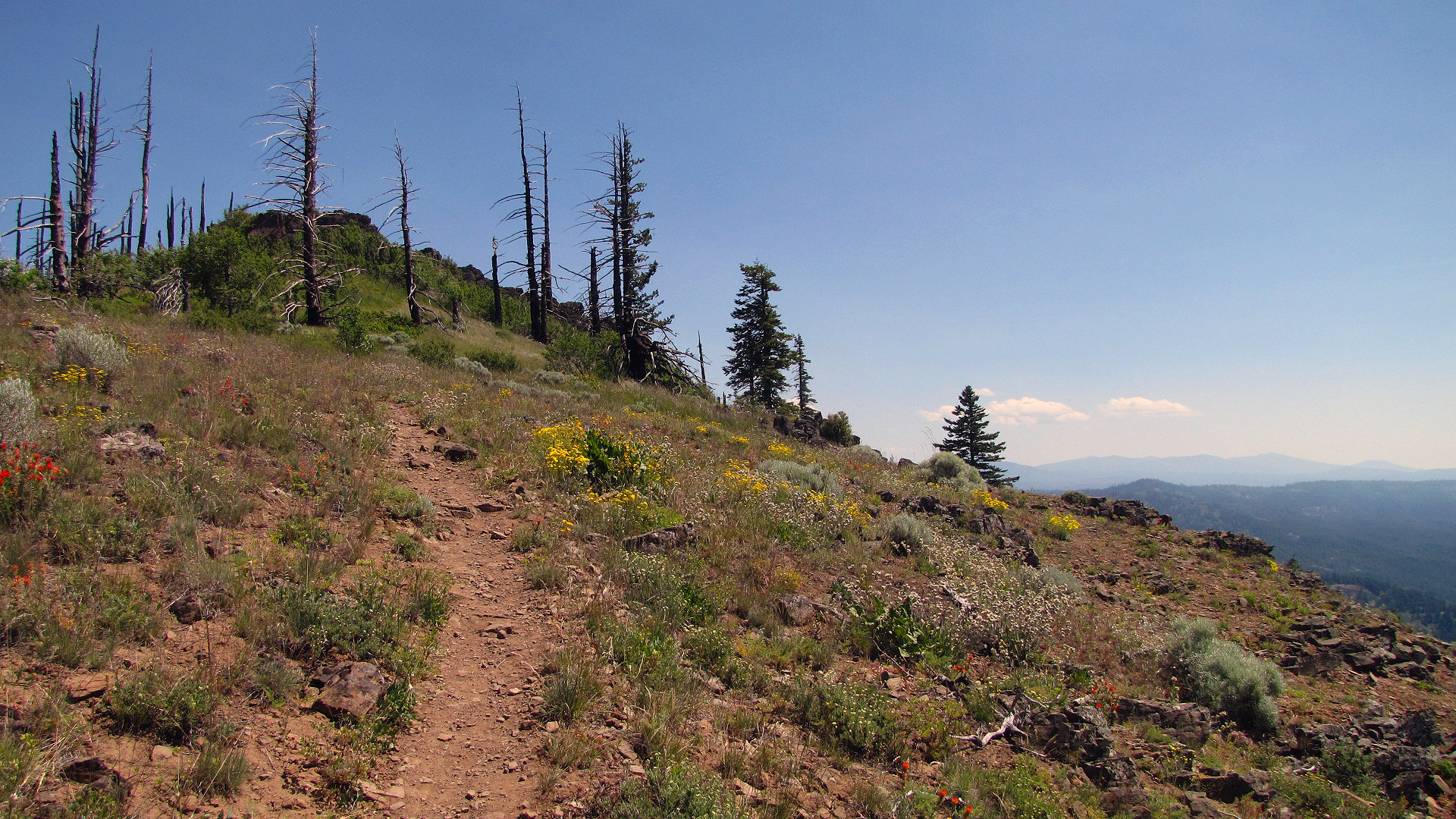
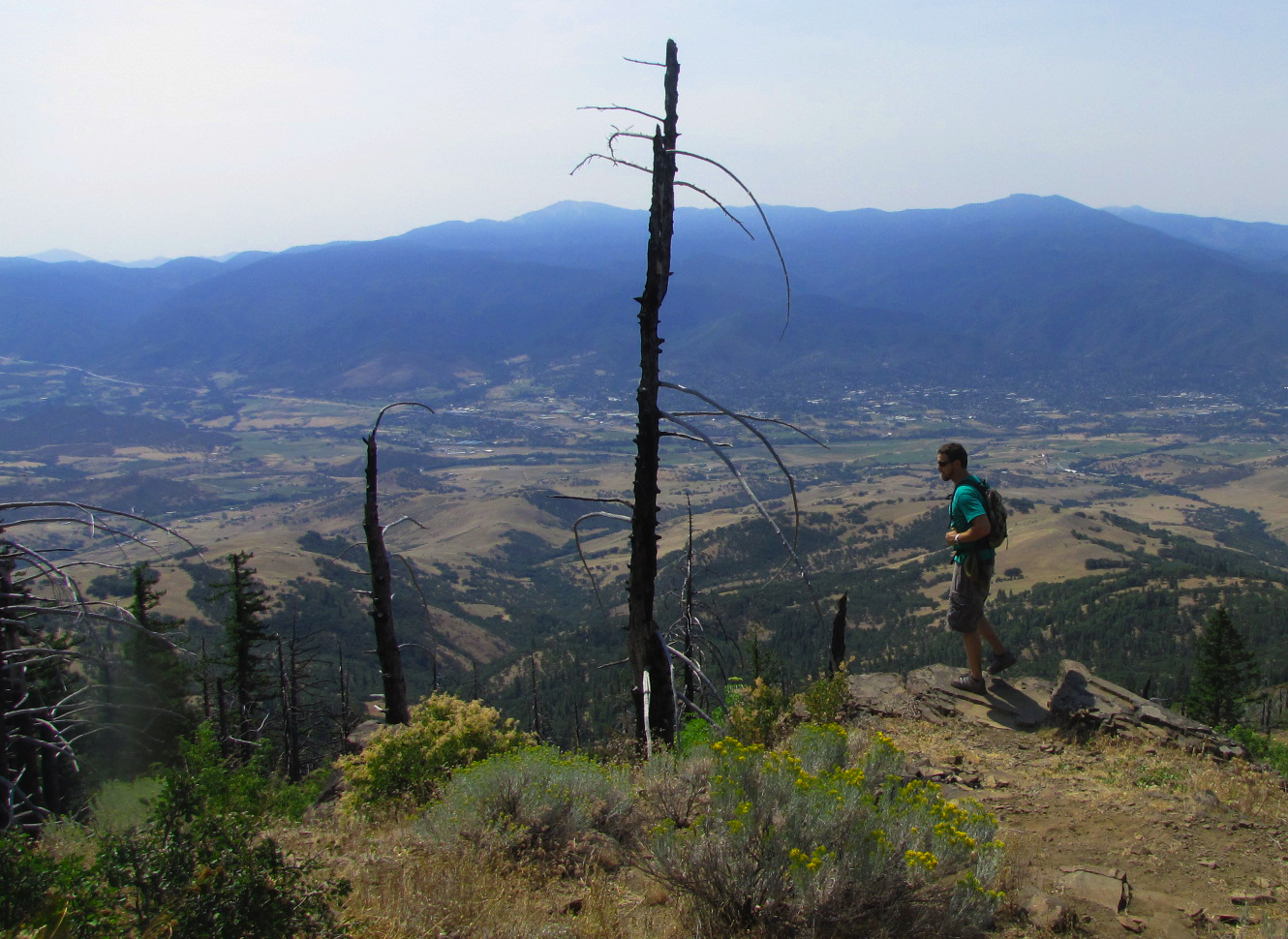
A short hike that is long on rewards awaits you on the Grizzly Peak Trail, located within the Cascade-Siskiyou National Monument. This family-friendly trail, located 12 miles east of Ashland, winds through a mixed forest of fir and pine, passes through the remnants of a wildfire, and provides outstanding views of the Rogue Valley and the city of Ashland. Be sure to continue on the loop trail past the top of 5,922-foot Grizzly Peak for the best views on the hike. Clear days offer outstanding views of the Cascade Mountains, including Mt. McLoughlin, Mt. Shasta, and Diamond Peak. In early summer, wildflowers put on a spectacular show along the trail.
Know Before You Go:
- Open year-round; snow may make the trailhead inaccessible by vehicle.
- Day-use only.
- Restrooms are available at the trailhead.
- No drinking water; carry your own water.
- Trailhead parking for up to 10 vehicles.
- The trail is open to hikers, mountain bikers, and equestrians. Please watch for other trail users.
Point of Interest:
The Grizzly Peak trailhead is 3 miles one way with a total climb of 700 feet in elevation.Photos
Phone
Activities
Addresses
Medford District Office
3040 Biddle Road
Medford
Oregon
97504
Geographic Coordinates
42.272117, -122.606266
Directions
From Interstate 5, take Exit 14; turn east on Highway 66. After 0.25 mile, turn left on Dead Indian Memorial Road. Continue 6.7 miles; turn left on Shale City Road (road #38-2E-27). After 3 miles, turn left on road #38-2E-9.2; follow 2 miles to trailhead.
Fees
No fees.


