Folsom Farm Recreation Site
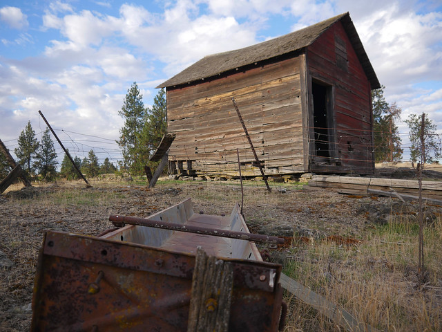
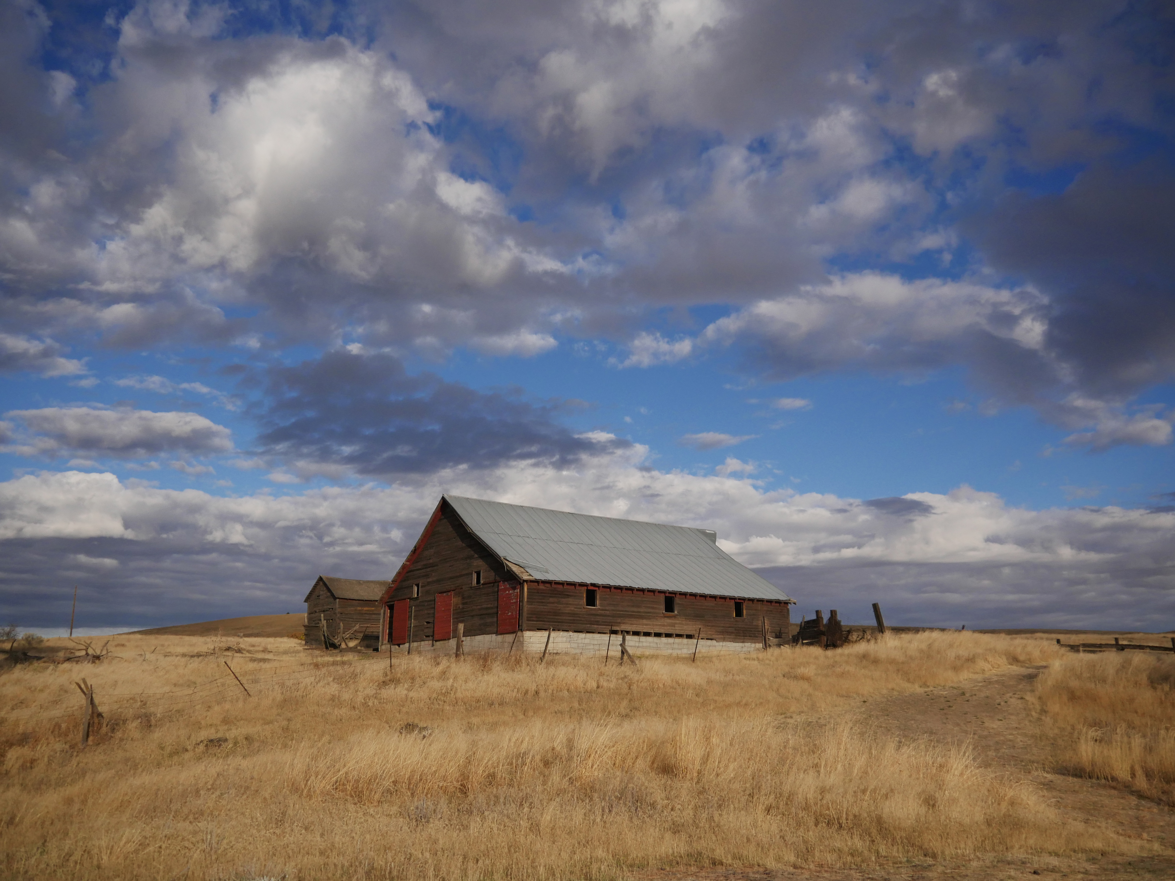
At BLM's Fishtrap Area, the historic Folsom Farm interpretive site demonstrates how the landscape was converted into small farms, ranches, and communities beginning in the late 1800's. Enjoy the chance to explore, view and study nature, picnic, backpack, horseback ride, mountain bike, or hunt throughout the entire Fishtrap area.
From the historic farm buildings, enjoy an overlook above a restored wetland, or hike 1/4 mile down to the wildlife viewing stand, which has a viewing scope. Very often, waterfowl and other birds can be viewed within the wetland.
Know Before You Go:
- Folsom Farm and the surrounding Fishtrap Recreation Area is open year-round.
- Folsom Farm is primarily a day use site, with a vault outhouse.
- The site has no developed campsites, but dispersed camping is allowed.
- Please practice the Seven Principles of Leave No Trace when recreating on Public Lands.
Point of Interest:
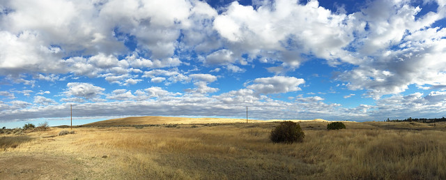
Part of the Channeled Scablands of eastern Washington, this area is named for the trenches and outcrops of ragged, scarred rock interspersed with wet meadows and wheat fields. The Great Missoula Ice Age Floods that scoured the region more than 12,000 years ago carved out this unique landscape.
Photos
Phone
Activities
Addresses
Geographic Coordinates
Directions
From Spokane, Washington: Drive west 30 miles on Interstate 90. Take Fishtrap Exit (Exit 254), turn left and travel south on the Old State Highway for 1.75 miles. Turn left onto Fishtrap Road. Travel 3/4 mile and past the site sign, turn left onto the site access road.
Fees
No fees.


