
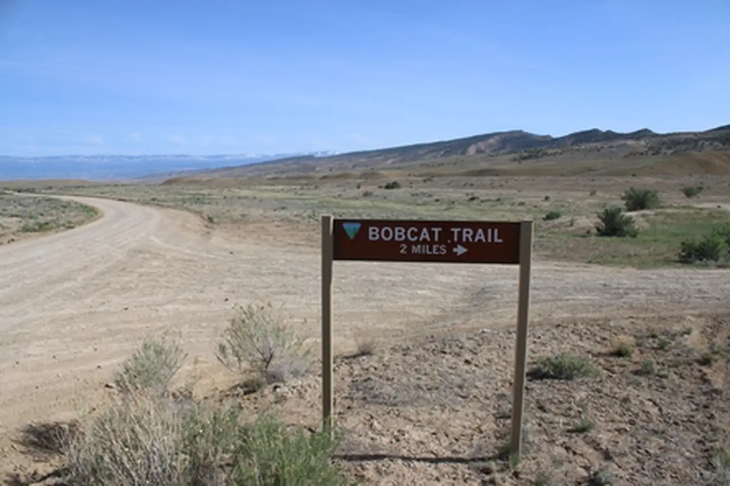
Bobcat Trailhead |
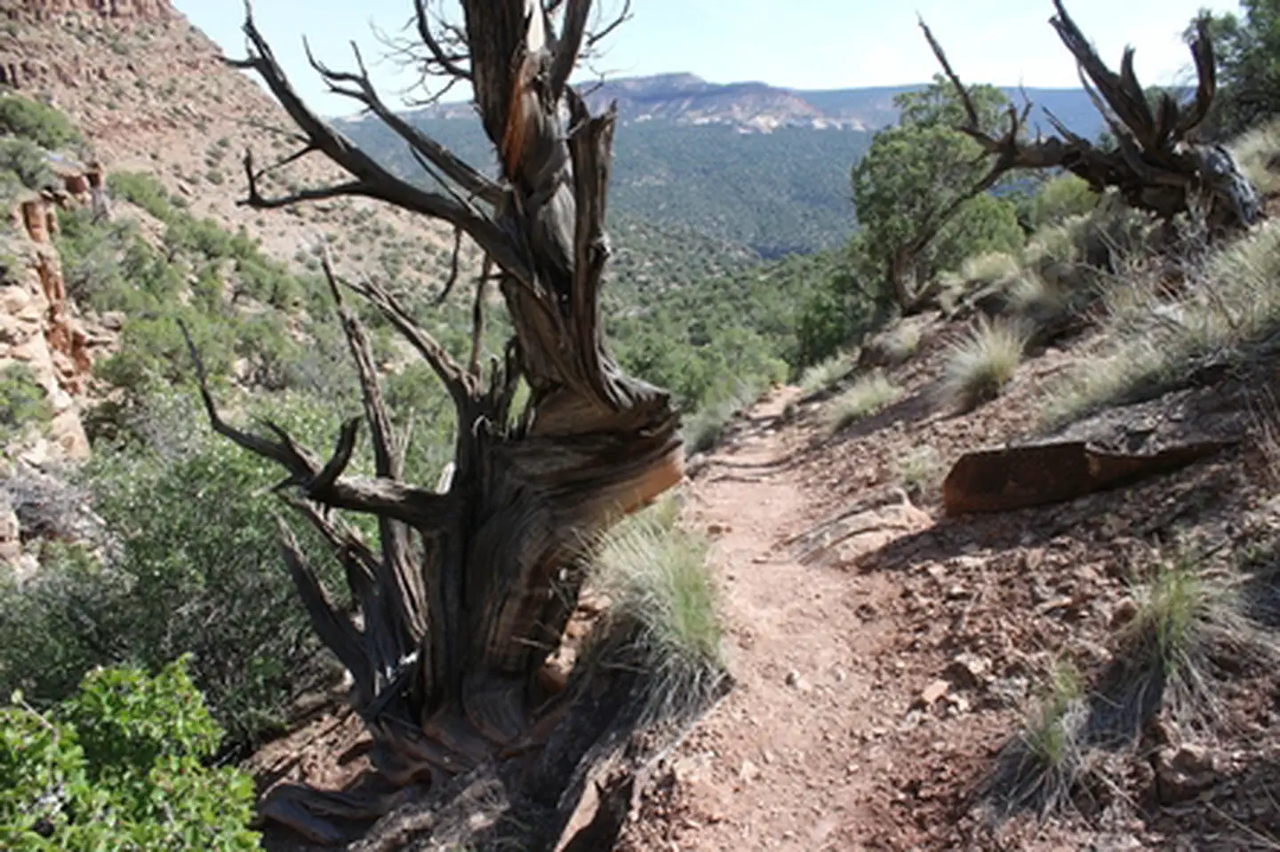
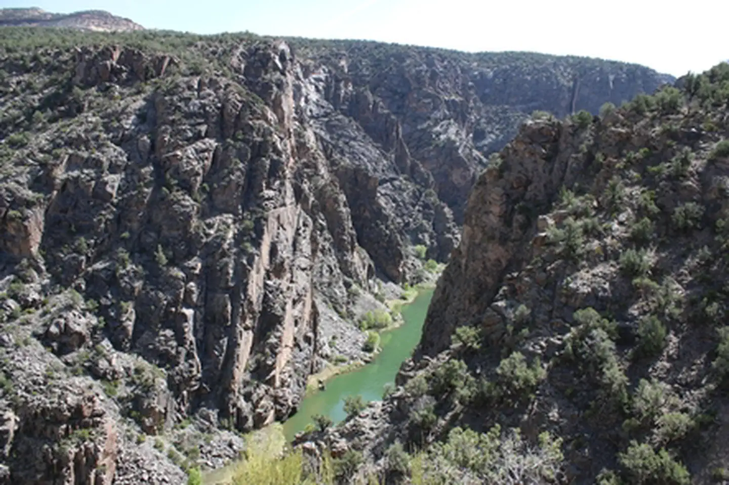
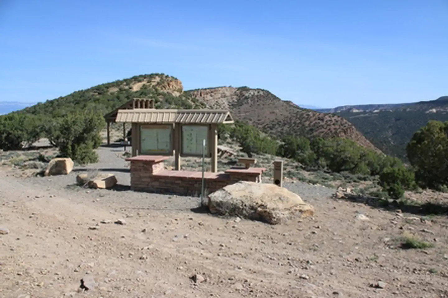
This trailhead provides access to Bobcat and Bighorn trails in the Gunnison Gorge Wilderness. Bobcat Trail accesses the Gunnison River, and is very steep and a bit technical at the bottom. There is usually a bit of rope to hang onto for the steepest part. This trail is not suitable for dogs or horses. The Bighorn Trail connects to Duncan Trail and is suitable for horses and dogs. Site amenities include a shade structure, picnic table, and informational kiosk. There is a self-serve fee station for use of the wilderness, including both Bobcat and Bighorn trails. For more information, please contact the Gunnison Gorge NCA or Uncompahgre Field Office.
Photos
Contact Us

Activities

Geographic Coordinates
Directions
From Olathe, Colorado drive east on Falcon Road for 3.8 miles. When it turns to gravel it becomes Peach Valley Road. Continue on Peach Valley Road for 3.4 miles, then turn right onto Bobcat Road. Follow Bobcat Road (high clearance) about 1.5 miles to the trailhead.
Fees
Visitors to the Gunnison Gorge Wilderness Area will be charged the following user fees: Day Use Only (in and out the same day) = $3 per person. Day Use & Camping = $5 per person per calendar day. 1 night = $10. 2 nights = $15 (maximum allowable stay). Annual Pass for Day Use - $15 per /year. Fees apply to all users, 16 years of age and older, within the river canyon from the down-stream boundary of the Black Canyon of the Gunnison National Monument (2 miles upstream of the Chukar Put-In) down to, but not including, the Smith Fork confluence (10 miles downstream of the Chukar Put-In).