Black Rock Desert-High Rock Canyon Emigrant Trails National Conservation Area
Point of Interest
Geology
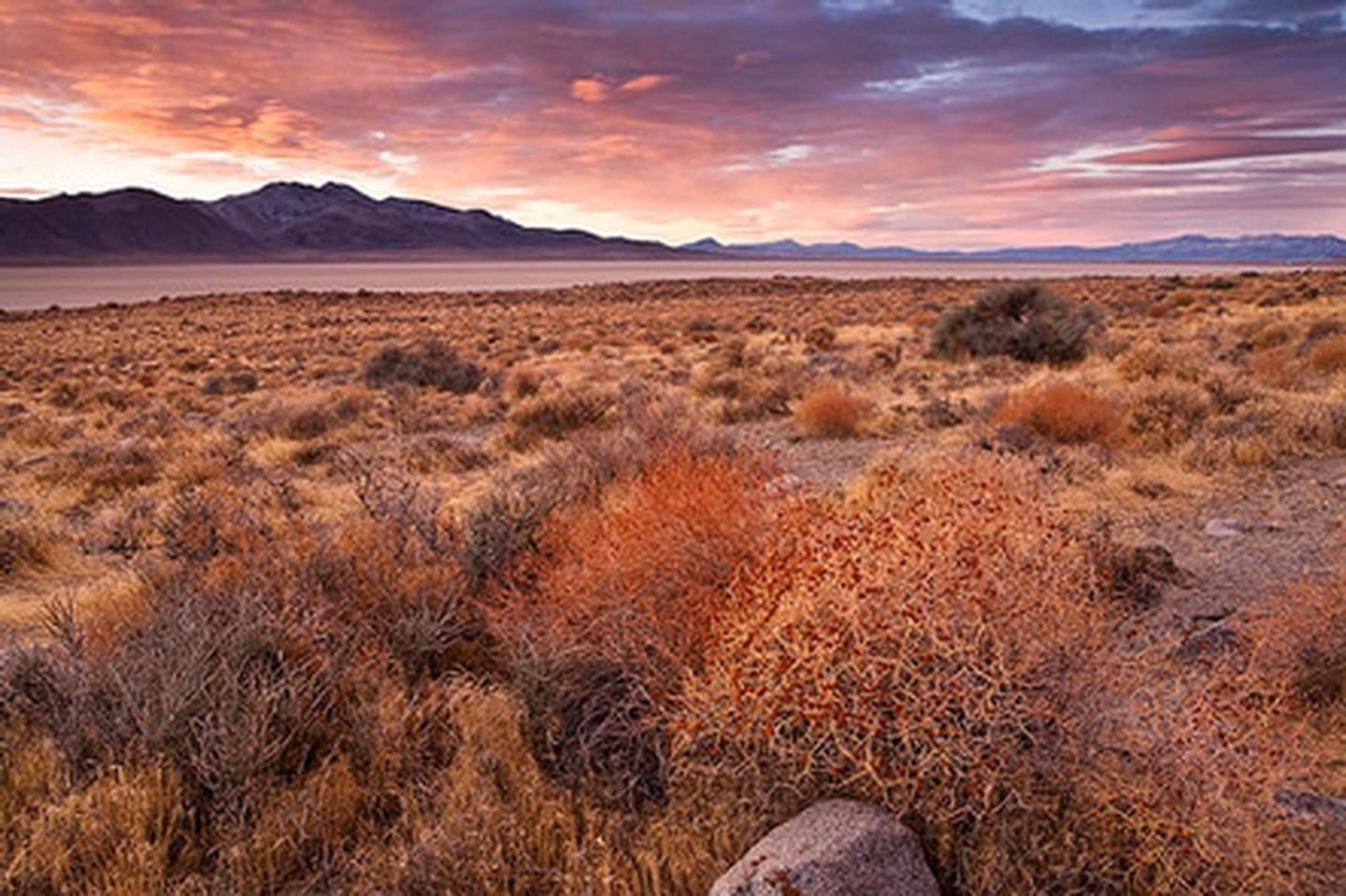
The NCA's geologic features tell a tale of astounding natural forces. The Black Rock Desert playa—a flat expanse of about 200 square miles—once formed the bed of Lake Lahontan, an ancient lake that covered much of northwestern Nevada 15,000 years ago. Today the playa is favored by off-roaders, land-sailers, and amateur rocketry groups, and it provides a dramatic venue for large, outdoor events. The area's namesake, a distinctive formation of black rock, is an impressive outcropping of volcanic rocks and limestone.
History
American Indians inhabited Black Rock - High Rock country for at least 10,000 years before Euro-American emigrants passed through on their way to California and Oregon in the 19th century. Black Rock Point was a welcome landmark for these settlers. In 1843—44 the famous explorer John C. Frémont traversed what is now the Applegate Trail, pioneering a throughway from which many wagon routes would form. Visitors today can walk along the Applegate and Nobles trails and read signs depicting diary entries from the early emigrants.
Know Before You Go
- This area is rugged and remote. Be prepared for backcountry travel.
- There is no cell phone signal and few, if any, other people nearby.
- Black Rock country is a land of extremes—the weather can be hot and sunny one day and cold and snowy the next.
- Be prepared for changing weather conditions and carry additional water, food, and clothing.
- High-clearance vehicles with off-road tires (at least 6-ply) and spare tires are recommended.
- Motorized use is limited to designated routes only, except for the unvegetated, flat surface of the Black Rock Desert Playa.
- Contact the local office for current road and playa conditions, travel information, and fire restrictions.
- Find more tips in the Safety Handout and Visitor Handout
Recreation
A variety of recreational opportunities are present within the NCA suitable for visitors of all experience levels.
Any commercial, competitive, and organized events and activities will need a Special Recreation Permit (SRP) issued by the local field office -Black Rock Field Office.
Camping
- Enjoy camping and star-gazing at one of the cowboy cabins at Steven's Camp, Massacre Ranch, or Soldier Meadows.
- Designated campsites can be found in the Soldier Meadows ACEC and in High Rock Canyon.
- Dispersed camping is allowed everywhere else.
- Please note that fires are not allowed directly on the floor of the Black Rock Playa.
Bicycling
Bicycling is allowed everywhere except in designated Wilderness Areas. Carry plenty of water as it can be a long walk back if you have mechanical problems.
Hiking
Hiking is a popular activity all around the NCA. There are dramatic landscapes, including ten associated wilderness areas. There is only one designated hiking trail in the NCA, which is north from Stevens Camp along the Applegate Trail.
Historic Trails
The Applegate and Nobles Trails have been marked with signs containing emigrant trail diary entries from each location. Visitors enjoy traveling between markers, re-living the route of the early emigrants. Occasional trail re-enactors can be seen with wagons pulled by oxen or horses.
Off-Highway Vehicles (OHV)
Enjoy off-Roading (OHV) and land-sailing on the Black Rock Desert Playa.
Outside of the playa, ATV riding (and other driving) in the NCA is restricted to existing roads and two-tracks
Rock Climbing
Climbing is allowed in all areas with the exception of the High Rock Canyon.
Wildlife Viewing
Visitors often encounter wildlife and wild horses (also occasional burros) around the NCA. Golden eagles and hawks, antelope, and smaller creatures such as lizards, pygmy rabbits and kit foxes are common, but sightings of bighorn sheep are a special treat. Historic and wildlife sightseeing is also popular along the Emigrant Trail.
Visitor Center
The Black Rock Station (Visitor Center) is seasonally open. Please contact our office for more information.
Photos
Phone
Activities
Addresses
Geographic Coordinates
Directions
From Reno, Nevada: Take Interstate 80 east to Wadsworth. Travel north for 75 miles on State Highway 447 to Gerlach, NV.
Fees
None


