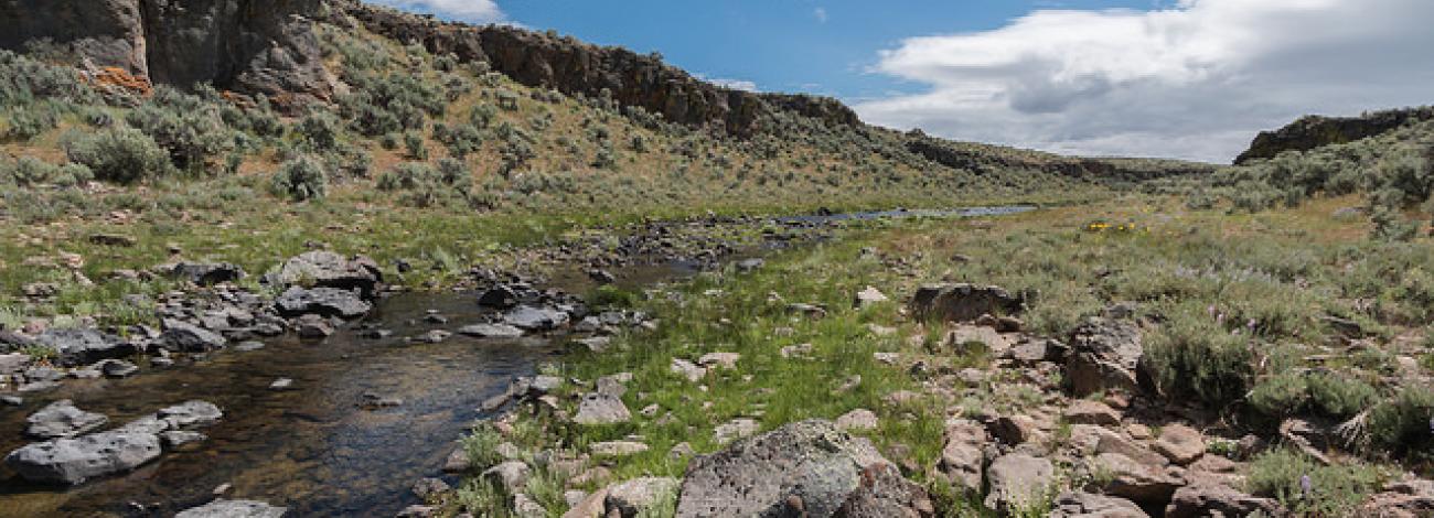
Upper West Little Owyhee Wilderness Study Area
The Upper West Little Owyhee Wilderness Study Area (WSA OR-3-173) is located in Malheur County, approximately 80 miles south of Jordan Valley and 10 miles northeast of Nevada. U.S. Highway 95 lies 10 miles west of the WSA. The WSA includes 58,660 acres of BLM lands. In addition, there are seven parcels of split estate lands totaling 3,840 acres. There is also a private parcel within the WSA boundary. The WSA is bounded on the north and east by high standard dirt roads and on the south by a low standard road. The western boundary is defined by a fenceline and the McDermitt Indian Reservation.
The WSA contains level to rolling sagelands dissected by two deep, rimrock-lined canyons cut by the West Little Owyhee River and Antelope Creek. Eighteen miles of the West Little Owyhee River within the WSA were designated as a Wild River by Congressional action in October 1988. During the dry summer season, the water in the canyons recedes and is concentrated in deep, clear, cool pools where the canyons narrow. Jeffs Reservoir is located within Massie Canyon, a tributary to the West Little Owyhee. Sagebrush and grasses are the dominant plants in the WSA. Sedges and rushes grow in the riparian zones, patches of mountain mahogany appear on a few of the canyon rims, and isolated pockets of aspen grow on the slopes between the rim and the creek bed.
The WSA was studied under Section 603, with additional acquired split estate lands studied under Section 202 of the Federal Land Policy and Management Act (FLPMA), and the WSA was included in the Final Oregon Wilderness Environmental Impact Statement (EIS) filed in February 1990.


