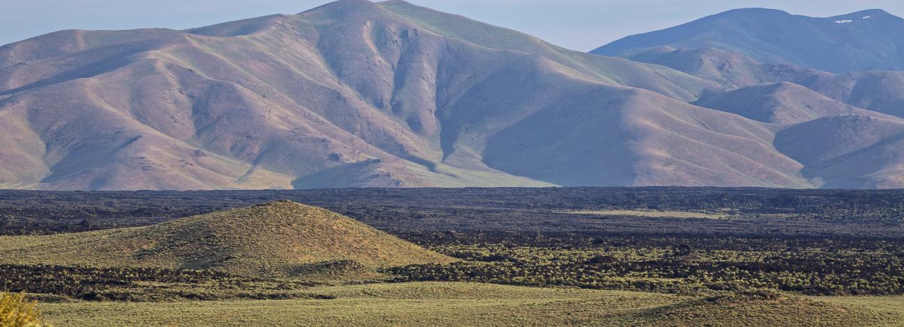
Idaho National Conservations Lands

In Idaho, the Bureau of Land Management manages a national monument, national conservation area, five National Scenic and Historic Trails, many wild and scenic rivers, wilderness and wilderness study areas.
 

National Conservation Lands in Idaho

National Monument

Craters of the Moon National Monument

National Conservation Area

Morley Nelson Snake River Birds of Prey National Conservation Area

National Scenic and Historic Trails

California National Historic Trail

Continential Divide National Scenic Trail

Lewis and Clark National Historic Trail

Nez Perce (Nee-Me-Poo) National Historic Trail

Oregon National Historic Trail

Wild and Scenic River

North Fork Owyhee

Battle Creek

Deep Creek

Dickshooter Creek

Owyhee River

Red Canyon

South Fork of Owyhee River

Big Jacks Creek

Little Jacks Creek

Cottonwood Creek

Duncan Creek

Wickahoney Creek

Jarbidge River Sheep Creek 

Bruneau River

West Bruneau River

Wilderness

Little Jacks Creek - Map

Big Jacks Creek - Map

Pole Creek - Map

Bruneau-Jarbidge Rivers - Map | Boater Guide

North Fork Owyhee - Map

Owyhee River - Map | Boater Guide

White Clouds - Map | Georeferenced Map

Jim McClure-Jerry Peak - Map | Georeferenced Map

Wilderness Study Area

Crystal Lake

Grandmother Mountain

Selkirk Crest

Marshall Mountain  

Snowhole Rapids 

King Hill Creek  

Box Creek

Lower Salmon Falls Creek 

Great Rift  

Bear Den Butte 

Black Butte  

Black Canyon [I] 

Deer Creek 

Friedman Creek 

Gooding City of Rocks East 

Gooding City of Rocks West

King Hill Creek

Lava

Little City of Rocks 

Little Deer  

Little Wood River 

Raven's Eye

Sand Butte

Shale Butte 

Shoshone

Eighteenmile - MAP

Borah Peak 

Burnt Creek 

Goldburg     

Appendicitis Hill 

Black Canyon [II]

Cedar Butte

China Cup Butte  

Hawley Mountain 

Hell's Half Acre 

Henrys Lake 

Sand Mountain 

Snake River Islands  

White Knob Mountains

Petticoat Peak

Worm Creek

Widow Mountain


Contact Us

Bureau of Land Management
Idaho State Office

1387 South Vinnell Way
Boise, Idaho 83709

Phone:  208-373-3889

Email: blm_id_stateoffice@blm.gov

John D. Dingell, Jr. Conservation, Management and Recreation Act  

BLM worked to develop plans to implement this law, which contains two sections specific to Idaho, in compliance with Secretarial Order 3374.

Title I, Subtitle B, Section 1112 modifies the boundaries of the Pole Creek, Owyhee River, and North Fork Owyhee Wilderness Areas in Owyhee County to resolve issues that arose soon after the passage of the Omnibus Public Land Management Act of 2009 that established the wilderness areas.

Title I, Subtitle A, Section 1011 conveys approximately 0.5 acres of Federal land in the Henry’s Lake Wilderness Study Area (WSA) to the owner of a private residence and grants an electric utility the right to operate, maintain, and rehabilitate a right-of-way encumbering approximately 0.4 acres of Federal land in the Henry’s Lake WSA.