
Río Grande del Norte National Monument
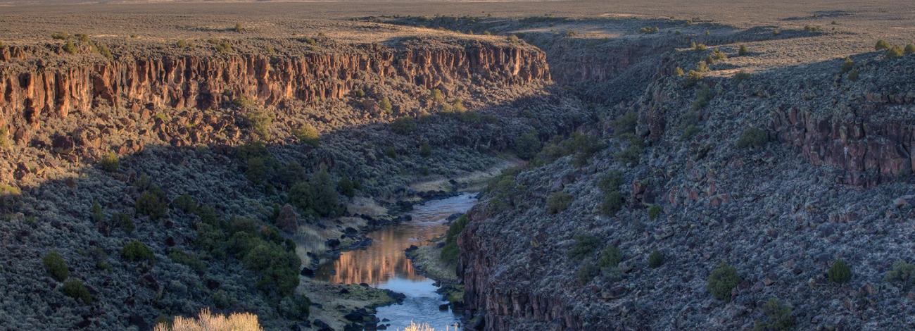
The Río Grande del Norte National Monument is in the northern Rio Grande Valley (rift zone). The monument comprises rugged, wide-open plains at an average elevation of 7,000 feet, dotted by volcanic cones and cut by steep canyons with rivers tucked away in the canyon depths. In particular, the Rio Grande has carved a narrow gorge up to 800 feet in depth through layers of volcanic basalt flows and ash interbedded with layers of sand and gravel derived from the mountains at the margins of the valley.
This area has attracted human activity since prehistoric times. Evidence of ancient use is found throughout the area in the form of petroglyphs, prehistoric dwelling sites, and many other types of archaeological sites. More recent activity includes abandoned homesteading from the 1930s.
The monument is an important area for wintering animals, and provides a corridor by which wildlife move between the two mountain ranges.
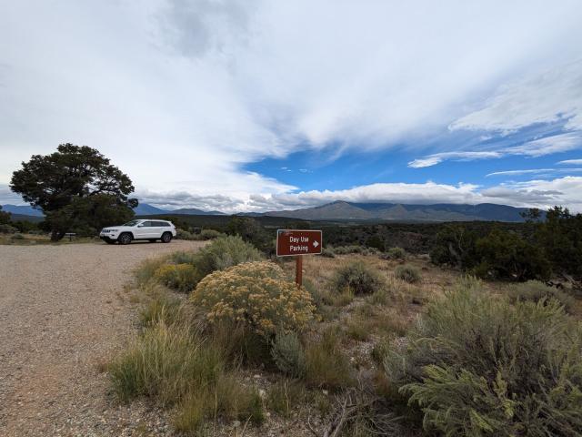
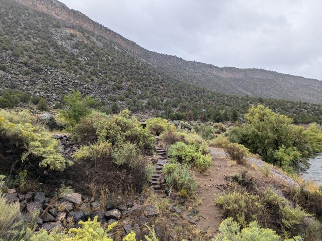
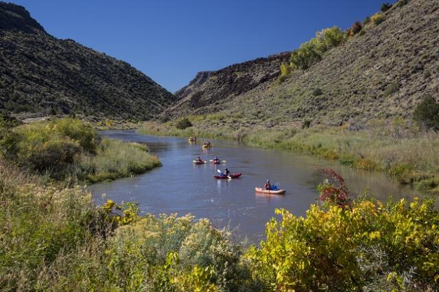
The unique setting of the monument also provides a wealth of recreational opportunities. Whitewater rafting, hunting, fishing, hiking, mountain biking, and camping are some of the more outstanding activities that can be enjoyed in the Monument.
Flickr Album

Quick Facts
Establishment Date: March 25, 2013
Acreage: 242,500 acres

Contact Us
Taos Field Office
1024 Paseo del Pueblo Sur
Taos, NM 87571-5983
575-758-8851
Wild Rivers Visitor Center
575-586-1150
Río Grande Gorge Visitor Center
575-751-4899