BLM looks back on more than 50 years of managing conservation areas (Part 1 of 2)
Listen
Subscribe
Related Content
In 2025, the Bureau of Land Management will celebrate 25 years since the creation of the National Landscape Conservation System in 2000. But to appreciate the breadth of National Conservation Lands, you actually need to go back more than 50 years.
Transcript
NARRATOR, DAVID HOWELL, Senior Communications Specialist: Welcome to a special edition of “On The Ground: A Bureau of Land Management podcast.” I’m David Howell. The Bureau of Land Management manages about 245 million acres of public land on behalf of the American people. That’s roughly 1 in 10 acres in the United States. Eighty-five percent of BLM-managed public lands allow a wide variety of uses, including oil & gas development, mining and mineral leasing, and timber harvesting, just to name a few.
The other fifteen percent of public lands carry a special designation, generally from Congress or the President. These include wilderness areas, national monuments, national conservation areas, wild and scenic rivers, and national scenic and historic trails, and are collectively managed by BLM as the National Landscape Conservation System – also known as National Conservation Lands.
In 2025, BLM is celebrating 25 years since the creation of the National Landscape Conservation System. During this yearlong celebration, BLM will publish a variety of stories through its website, YouTube channel, social media, and of course this podcast, “On The Ground.”
The first units of the future NLCS
NARRATOR: Of course, the ruggedly beautiful landscapes that make up the National Conservation Lands date back to a time before we measured time. But to understand how and why the National Landscape Conservation System was created 25 years ago, we actually need to go back more than 50 years, starting at a site along the Northern California coast.
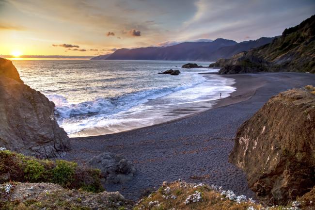
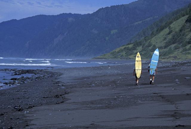
In 1970, Congress designated 60,000 acres of land in Humboldt and Mendocino Counties as the King Range National Conservation Area. It’s an area that was considered too rugged to build the Pacific Coast Highway back in the 1930s, and today is a popular spot for mountain biking, hiking, and other outdoor recreation. I spoke recently with Jim Kenna, formerly BLM’s California State Director about this beautiful area.
JIM KENNA, Former BLM California State Director: The King Range is clearly the first place where you have a national conservation area designated by Congress under BLM management. Just physically, you have mountains that rise from sea level to over three thousand feet in the space of just a couple of miles. It is high drama stuff! It’s really, really beautiful. It’s so remarkable and it’s kind of a different experience for people because you have to think about tide schedules and all that kind of stuff because some places you kind of need the beach to get from one place to the other.
HOWELL: Yeah.
KENNA: But obviously can’t do that when it’s underwater.
HOWELL: That’s right! [laughs]
KENNA: So it’s physically amazing and beautiful. It’s historically really significant.
NARRATOR: And over the next several years, Congress designated other BLM National Conservation Areas in various Western states, which were folded into the Bureau’s multiple use and sustained yield mission outlined in the Federal Land Policy and Management Act, or FLPMA, BLM’s enabling legislation passed by Congress in 1976.
During the conservation movement of the 1960s, Congress passed into law several landmark bills including the Wilderness Act of 1964, the Wild and Scenic Rivers Act of 1968, and the National Trails Act of 1968. Each of these laws established their own systems of protected federal lands and waters, including on BLM-managed public lands.
In fact, between 1968 and the mid-1990s, BLM had begun managing a variety of public lands and waters designated by Congress as National Conservation Areas, Wilderness and Wilderness Study Areas, Wild and Scenic Rivers, National Scenic and Historic Trails, and several related designations.
BLM enters the National Monuments era
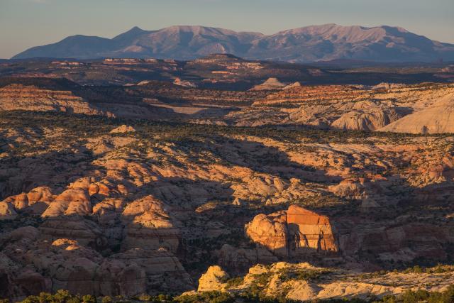
PRESIDENT BILL CLINTON: Today we are keeping faith with the future. I am about to sign a proclamation that will establish the Grand Staircase-Escalante National Monument.
NARRATOR: Then, in 1996, President Bill Clinton threw BLM a curve ball by creating a new national monument in Utah.
CLINTON: Today is also the beginning of a unique three-year process, during which the Bureau of Land Management will work with state and local governments, Congressman Orton and the Senators and other interests to set up a land management process that will be good for the people of Utah and good for Americans. And I know a lot of you will want to be involved in that and to be heard as well.
NARRATOR: Previously, responsibility for managing National Monuments had been delegated to the National Park Service or the U.S. Forest Service. But in this case, President Clinton decided to give management authority to the agency that had already been managing that land – the BLM. Cedar City District Manager Jerry Meredith was tasked with bringing everyone to the table.
JERRY MEREDITH, Former BLM Cedar City (UT) District Manager: And so, I already knew the county commissioners, a lot of the other movers and shakers, local politicians, local leaders. I had just come down to Cedar City from the Utah State Office and working up there. I knew a lot of people in state government because my job up there was External Affairs and congressional liaison. So I knew the congressmen, I knew the senators, I knew the governor.
So I was able to work with all of them quite well, I think. And like I say, I was able to put together my own team of outstanding individuals. And between all the great work they did and some of the personal connections I have where I could sit down and talk to people, and they would actually listen to me and I would listen to them, we ended up with a plan that I think is really good.
NARRATOR: Over the next four years, BLM was tasked with studying other areas that might qualify as national monuments, and to spend a lot of time on each meeting with local officials and members of the public. In 1998, BLM Director Tom Fry hired Kim Harb, an attorney who had worked for both DOI and BLM to be a senior counselor working on potential monument designations.
KIM HARB, Former Senior Counselor to the BLM Director: So I got to spend a lot of time with state directors, with field managers, with people on the ground who actually knew what the BLM was about and could really teach me. And then I could take what they were teaching me, bring it back to Washington and make sure that Washington worked for them so that everything that they were working on could get accomplished, and everything between Washington and the field was working together.
What I was doing was dealing with the people on the ground who had been managing those lands. And they were able to tell us, “These are the special lands; this is special for all these resources.”
And then we would, after months and months of work and public meetings where we go out and we’d meet with public officials, we’d meet with the public, we would do all of the prep work for this. And then you get down to a point that, I kid you not, I would put the five or six main sentences about why this particular area should be a monument or should be a national conservation area on a three-by-five index card and hand it to Secretary Babbitt. And then Secretary Babbitt, you know, would bring that to the White House and hand that to the President and talk to the President about why this should work.
NARRATOR: The local input would frequently influence whether an area was ultimately recommended to Interior Secretary Bruce Babbitt for designation. At the time, not everyone was sold on the idea of BLM managing these special areas.
HARB: When something was recognized as being really special that the BLM was managing for its natural resources – for whichever natural resources it was – there would be an initiative, “Well, what we need to do is we need to make it a park” or “we need to make it a monument first and then make it a park.” And take it away from the Bureau of Land Management, give it to the Park Service – which was a wonderful agency, that still is a wonderful agency and manages lands. But the idea was: “BLM had managed it so well that now we’re going to take it away and give it to somebody else to manage.” And we needed to change that! And BLM could continue to manage these lands so well and give them this extra protected status. And what made it different was you could have a monument on BLM lands that would be managed for multiple use. You didn’t have to lock it up and look at it. You can have other uses of those lands as long as you still protect the resources that the designation was made for. That was really exciting!
NARRATOR: By the end of the Clinton Administration, the number of BLM National Monuments had grown to 15. Plus the Bureau had responsibility for various Congressionally designated wilderness areas, national conservation areas, wild and scenic rivers, and national trails. It quickly became clear to Interior Secretary Bruce Babbitt that a staff was needed to manage a growing workload of specially-designated areas. For this, he created an office called the National Landscape Conservation System in July of 2000.
How that office came together will be the focus of our next episode.
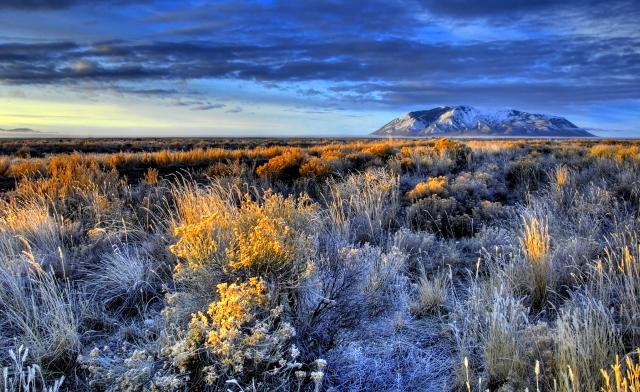
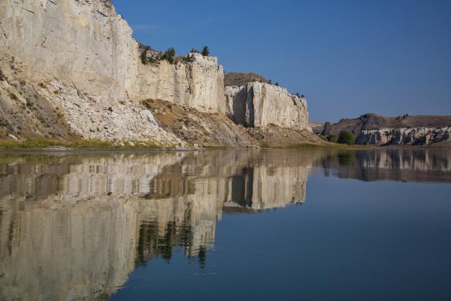
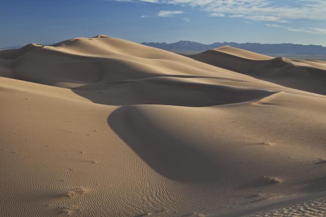
Special thanks to Jim Kenna, retired BLM California State Director. We also heard from BLM managers Jerry Meredith and Kim Harb, who were recorded as part of BLM’s Oral History initiative. You can find out more about BLM’s National Conservation Lands on our website, BLM.gov, and we’ll have photos of some of these outstanding places we talked about in this episode. I hope you’ll find a location on public lands near you to explore.
I’m David Howell, and we’ll see you out there, “On The Ground.”

