Yuma Field Office
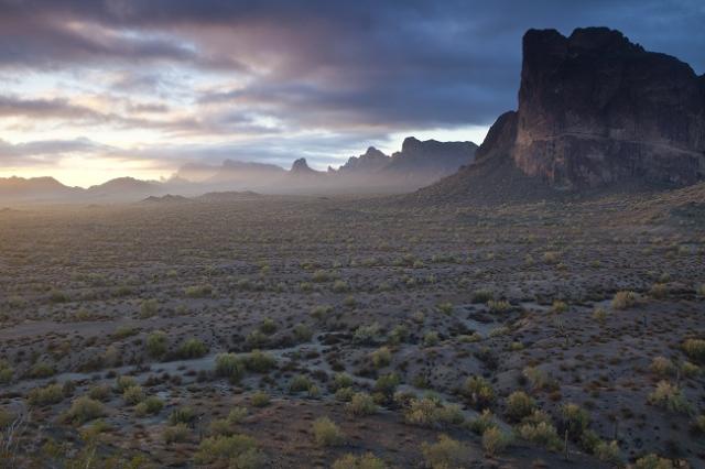
The Yuma Field Office manages 1.2 million acres of southwestern Arizona and southeastern California. The area includes 155 miles of the lower Colorado River, a destination for hundreds of thousands of visitors seeking water-related recreation year-round. In winter, the desert becomes a small city as long-term campers escape the northern winter.
The river and desert provide habitat for desert bighorn sheep, Yuma clapper rail, flat-tailed horned lizard, and other wildlife, as well as wild burros and horses.
The field office oversees four wilderness areas, along with significant archeological and historic sites. It is home to Juan Bautista de Anza National Historic Trail, three Areas of Critical Environmental Concern, five properties listed on the National Register of Historic Places, and Betty’s Kitchen National Recreation Trail.
The Yuma Field Office is part of the Colorado River District.


- National Conservation Lands
National Historic Trail
Wilderness Areas
- Things to Do
- View all recreation activities in Arizona.
- Learn about camping on public lands.
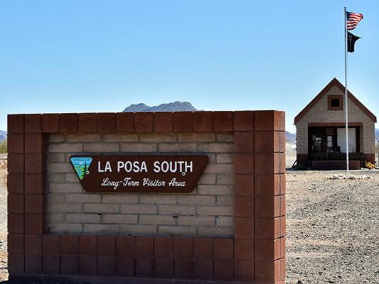
- Plan your visit to La Posa Long Term Visitor Area or Imperial Dam Long Term Visitor Area.
- Learn about OHVs on public lands. Resident and non-resident off-highway vehicles (OHVs) must display a valid OHV decal to operate on public and state trust lands in Arizona. Learn more and purchase an OHV decal.
- Maps and Publications
- La Posa Travel Management Access Guide
- Long Term Visitor Areas
View other maps and publications at our Online Public Room.
- Planning
BLM encourages the public to get involved in the planning process to help determine how public lands will be managed. View the National NEPA Register for online review and comment on BLM planning and implementation projects.
Leadership
Ray Castro
Latest News
Contact
Yuma, AZ 85365
TTY/Relay System
If you are deaf, hard of hearing, or have a speech disability, please dial 7-1-1 to access telecommunications relay services.
