
BLM’s Assessment, Inventory & Monitoring (AIM) team receives a 2022 Esri Special Achievement in GIS Award
Story by Chris Dietrich, AIM Data Administrator. Photos by BLM.
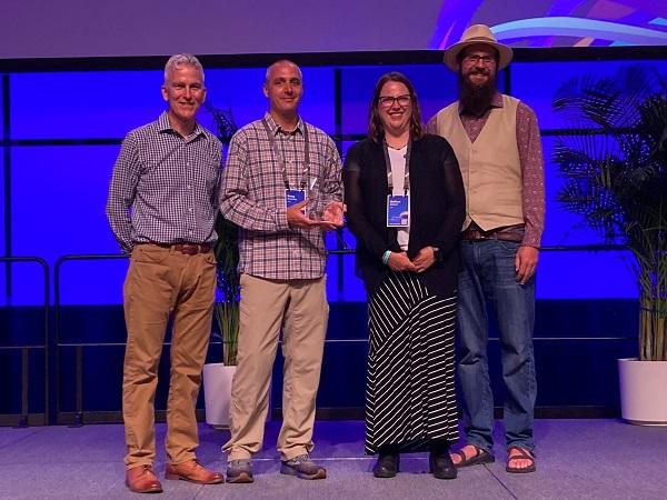
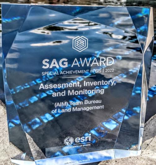
The Bureau of Land Management (BLM) Assessment, Inventory & Monitoring (AIM) team at the BLM National Operations Center (NOC) was honored with a 2022 Esri Special Achievement in GIS (SAG) Award at the Esri User Conference in July. Out of over 100,000 Esri customers worldwide, only 193 of these awards were given out this year. The annual award recognizes the outstanding use of, and leadership in, the field of Geographic Information System (GIS) technology.
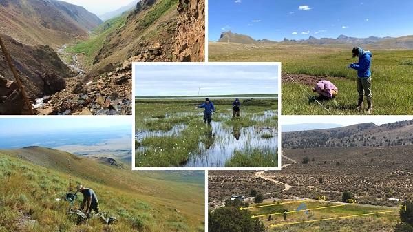
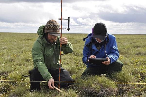
The AIM strategy provides a standard approach for collecting information about vegetation, water, and soil in uplands, streams/rivers, and riparian/wetland sites across BLM-managed lands that can be used for data analysis at multiple scales. The objective is to provide a standardized monitoring strategy for assessing natural resource condition and trend on BLM public lands. AIM data represents one of the largest ecological datasets in the world with over 40,000 Terrestrial, 3,700 Lotic (river and stream), and 350 Riparian & Wetland sampling locations. AIM data are used to inform land health standards and make data-driven management decisions (See BLM Technical Note 453 and visit the BLM AIM website for more information. AIM public data is available at: https://www.blm.gov/AIM/PublicData.).
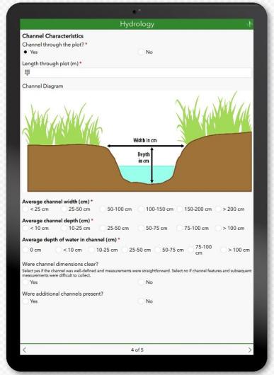
The BLM AIM team won the award for their success at piloting a new electronic data collection management approach beginning in 2018 as a collaboration between the BLM Montana State Office and the AIM team at the NOC. The goal was to modernize data collection tools and reduce data turnaround time and cost. By utilizing the Esri infrastructure built by the Department of the Interior (DOI) GeoPlatform team and the BLM Enterprise Geospatial Services Branch, the AIM GIS team was able to create modern, responsive, data collection apps for iOS and Android tablets. The new workflow utilizes Field Maps, Survey123, ArcGIS Online, Python, and ArcSDE to replace a combination of paper forms, Access, and FileMaker Pro.
Moving to a common platform with standardized data collection apps, and built-in data quality assurance and data management features, reduced new staff training and allowed for cross-resource sharing both within AIM and in the field. The ability to have data rules embedded in forms, along with live-time access to the collected data nationwide, significantly reduced transcription errors, the amount of time spent fixing issues, and the amount of unusable data.
According to Ben Knott, Senior Account Manager with Esri, the BLM AIM team was specifically recognized with the award for: “the volume of data collected, number of specialists in the field, and remote territory all combine to make it such an amazing, challenging, and special achievement. It easily rivals any coordinated field collection effort that I’ve ever heard of.”
The AIM team is comprised of, and supported by, members from multiple internal and external entities including The Sanborn Map Company, Axim Geospatial, the BLM Enterprise Geospatial Services Branch, Colorado Natural Heritage Program of Colorado State University, the Department of the Interior GeoPlatform team, the USDA Agricultural Research Service Jornada Experimental Range, and the Utah State University National Aquatic Monitoring Center.
Read more about the BLM AIM team’s achievements and the SAG award on the Esri webpage here.
Related Stories
Office
Denver Federal Center, Bldg. 85
P.O. Box 25047
Denver, CO 80225-0047
United States